Last month I travelled along with my brother as he attended a national confererence of the Oregon-California Trail Association (OCTA) in Scotts Bluff, NB. I found that they were as committed to their preservation efforts as we are to GCA.
Golf did occur as we played Old Works in Anaconda on the trip out from Oregon. Ballyneal was about 175 miles south so I played hooky from the conference for 30 hours and two rounds, and we went east to Gothenberg to play Wild Horse. Enough has been written and photod about them.
In Nebraska and southeast Wyoming, the trails closely followed the (North) Platte River, which is on the southern border of the sand hills. US 30 generally follows the trail.

These sand hills are a few miles east of Torrington WY and less than a mile from US 30. If you can stand a cattle feed lot and a state prison as neighbors, this is prime territory waiting to be developed for golf.

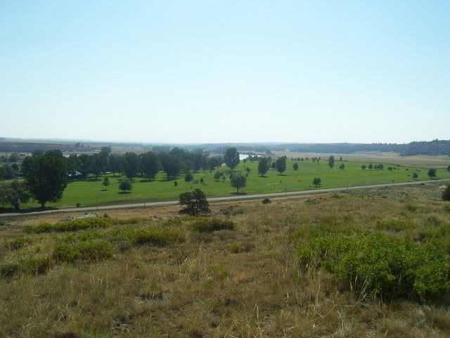
A convention bus trip took us to Guernsey WY to view ruts cleaved into a sandstone ridge. Running around taking pictures I found Trail Ruts GC, where a depression from the ruts runs through the middle of the golf course towards the camera from a point about one inch right of the river.

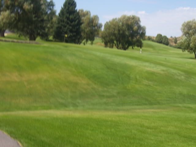
Tracing the trail back to Oregon, the Soda Springs, ID golf course, named Oregon Trail CC has the hollow of the trail visible coming out of the reservoir on the 9th fairway

its is seen across the bottom of the picture then diagonals back as the lighter strip towards the background flag

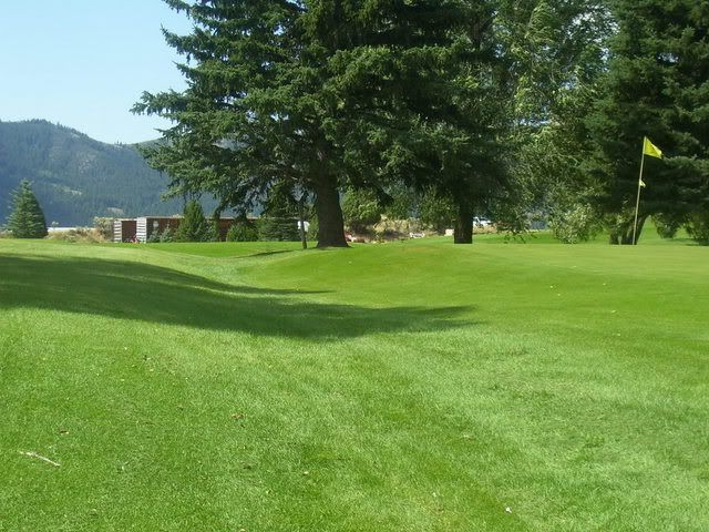
continues just left of the first green as the hollow

and then crossing the 8th fairway about 25 yds short of the green and heading towards the maintenance area. The cat is parked on the Trail. The equipment shown is not contemporary to the trail.