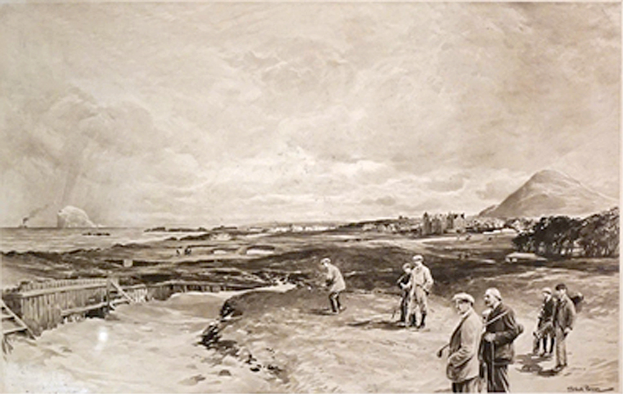
If you look at the old photo, there are at least 4 sets of stairs leading out of the the bunker, each consisting of 5 or six steps which would be about a 5 foot rise. If you look at the survey diagram below, which is drawn to scale, you can see that the bunker is around 60 yards tip to tip and about 40 yards from the gate in the wall. That means that the bunker would extend a bit into what is now the rough at the end of the fairway. There are also little nubs on the back of the bunker that I believe represent the stairs out of the bunker. The notes indicate that the bunker is 1 to 5 feet deep, presumably deeper on the left and shallower on the right as the ridge declines from left to right. You can click through most of the images for a larger version.


From the routing map that used to hang in the starters hut and that is from around the late 1800's, the bunker, called Barricade, also drawn to scale is shown to be the same crescent shape and has 4 nubs on the back side also, I think, signifying the steps out of the bunker. The right tip points towards the opening in the wall that is now in front and right of the current 4th tee. You can click through to get a larger image.

Going back to the painting, only the right side 2 stairs are visible and that is were they are crossing the bunker. Given the crescent shape of the bunker, crossing the bunker at right angles at the right end could well be on a line to the green.

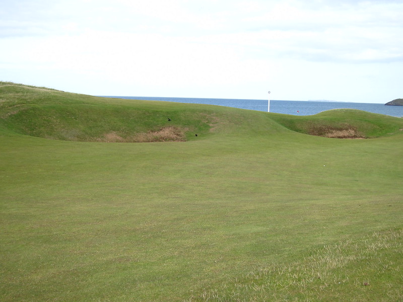
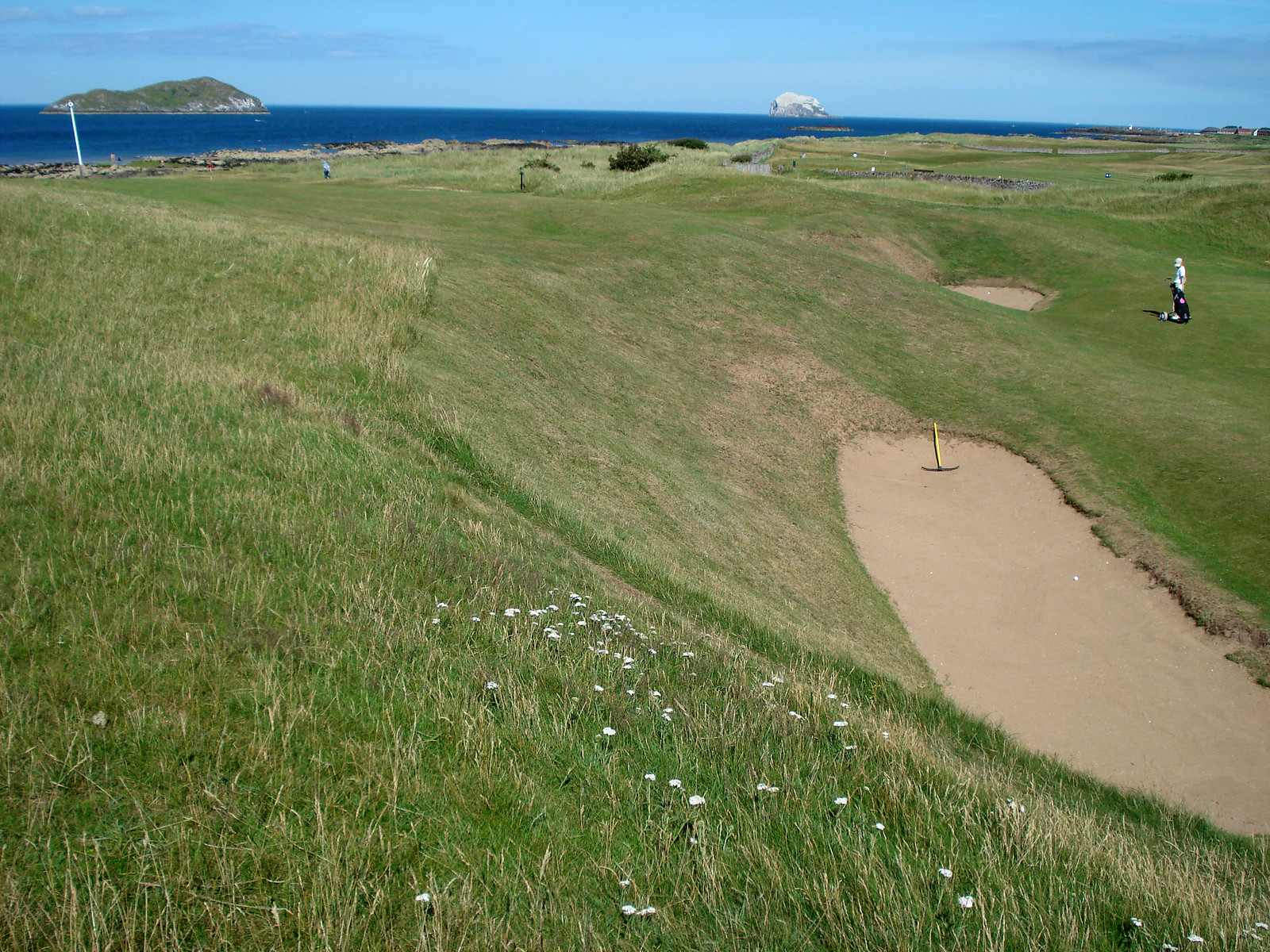
Here are two current images of the area, the first one from below and the second from on top looking east with both Bass Rock and Craigleith in the background.

