
Dynamic Map of Course Profiles
by Dave Harshbarger
You can pan in and out with vertical + – toggle on left of map.
Left click with mouse and hold down to drag map to desired area.
Click on red dot to view link to course tour.
Notes on the map from Dave Harshbarger:
Google Maps was introduced in 2005, and to the lay person, was a mind-boggling advance in readily available information. A picture of our entire planet (or thereabouts), on your computer? Scrollable? Zoomable? For free? Without tacky ads? Google had given the world a gift.
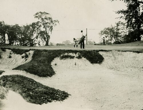
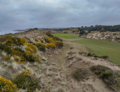
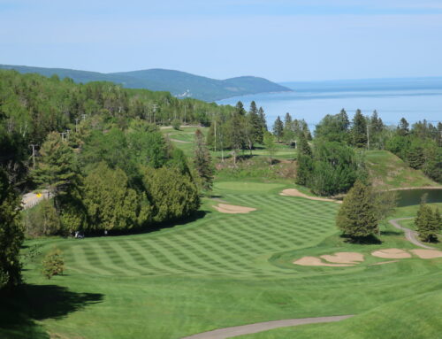
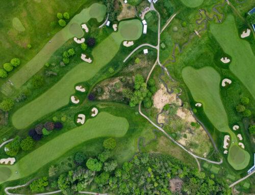
Golf Club Atlas, a more modest but no less ambitious project, also set out to map the world’s notable courses, in words and pictures. Ran, John, and a volunteer army brought light to famous, infamous, and worthy courses, 1000’s in fact. Popular courses, like Sand Hills, St Andrews Old, and Ballyneal are lauded over and over. But less popular, and even unknown courses, like Dannebrog, or Angle Inlet also drew the fancy of contributors.
It seemed only natural that the mapping abilities of Google Maps combined with the rich detail housed at GolfClubAltas.com could be combined.
A realization of that goal is the FusionTables based GCA Atlas. The map below is a mashup of sorts, between Google Maps and the “experimental” Google FusionTables product. Google developed FusionTables as a tool to facilitate spatial visualizations. FusionTables quickly enable anyone to upload spatial data and render it on a google map. The FusionTable itself is a virtual data table stored in the cloud (much like a Google Doc). When rendered in the browser, the FusionTable renders the spatial information on a Google Map.
The GCA Atlas is not perfect, as my approach to build followed certain ground rules.
1.) The mapping process had to be accomplished on my iPad. (While watching TV or otherwise lounging around).
2.) This meant that the tools used had to be relatively consumer friendly.
3.) The map and data had to be available to all. This meant a cloud based service.
The ramifications of the ground rules are reflected in what you see. The map detail is rich, but, there are gaps and omissions. The use of consumer tools resulted in a curated product, not a programmed product. The curator often missed things, or chose to exclude them, or include them, based on fluid criteria.
The map detail ends in 2013. The provider of the tool that dropped the pins on the map stopped updating the iPad app, as the API to FusionTables was changed. Updating the data became onerous as a result.
The map format and centering are “defaults” so it always starts out over Hawaii. Granted there are some good courses in Hawaii, but come on, I don’t think anyone would say Hawaii is the center of the golf world.
The many hours spent mapping out Golf Club Atlas were some of the most pleasant I have spent. Never was it a chore, as the posts and threads of the DG are infused with generosity. The courses themselves provided a travelogue around the world, and in some cases, took me on a hunt to regions I’d never imagined.
Every effort was made to find the right course. Where possible, the marker is in the first fairway to help with following the routing.
Doak 8-10 courses are flagged.
Thank you to everyone who contributes to Golf Club Atlas.