Steve and Bryan,
You guys are probably aware of this but at the viewer Bryan linked earlier (
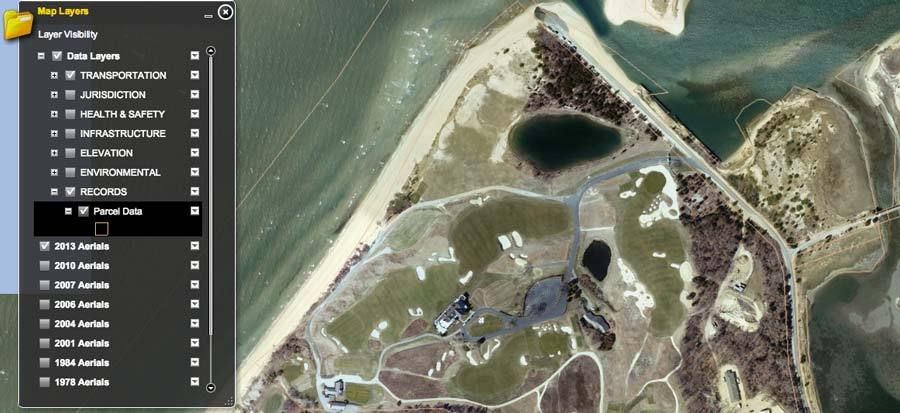
http://gis2.suffolkcountyny.gov/GISViewer/) there is a "Parcel Data" setting showing the individual parcels from the tax rolls (very light lines.)( A screen shot of the setting . . .

Steve you mentioned offline that you have Google Earth Pro. Perhaps the best way to get an accurate acreage is to pull the parcel layer into GEP and measure using the advanced tools. Or you could use my images below. I hate to make up thing for you to do, but if the mood strikes you . . . something to kill time while you are waiting on the discussion of the fire.
________________________________
Speaking of the blueprint, I have been messing around a scan (of George's scan) and it is pretty interesting. The lines aren't perfect but they are close, except for the area to the east of the Sahara, Alps, and Hogsback. As was mentioned the pro shop area is not on the blueprint.
From looking closely at the map, I am beginning to develop some theories on how the course was mapped out. It looks like CBM first found green sites, then had Raynor survey straight line (center line) elevations from green to green, bunkers and tees ("T") were probably added later, although some natural bunkers might have been there from the beginning.
In short, I think the blueprint cuts against the idea that CBM had the property fully surveyed with elevations before it was planned. In order to do straight line surveys, you need starting and ending points, and the starting and ending points seem were the greens themselves. So the greens came first, then the elevations. At least on this survey.
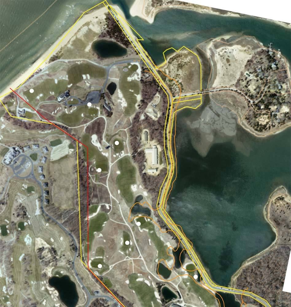
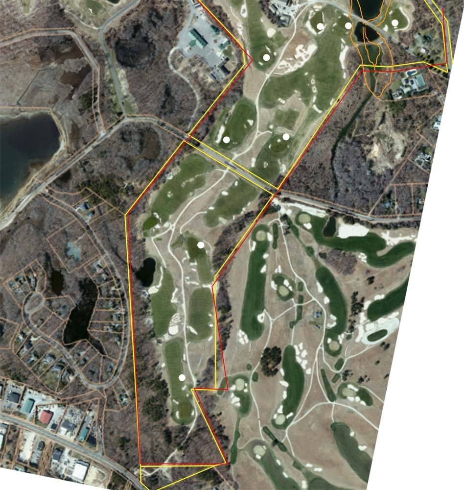
Here is the overlay showing the parcel data (yellow) along with the blueprint border (red) as best as I could fit it. (And the shoreline off the blueprint (orange.))


Some of the green sites off the survey are marked as well (white.) I tried to use these for alignment.