Here's an example of an earth wall or bank (the term I'm most familiar with) at the 15th hole on the old Rosapenna course on the Coastguard side. The green site is located in a small rectangular field of about 1.4 acres, that was bordered on four sides by earth banks. The banks have been eroded with time, but the boundary ridge that crossed the fairway about 70 yds before the green is quite clear in the pictures below.
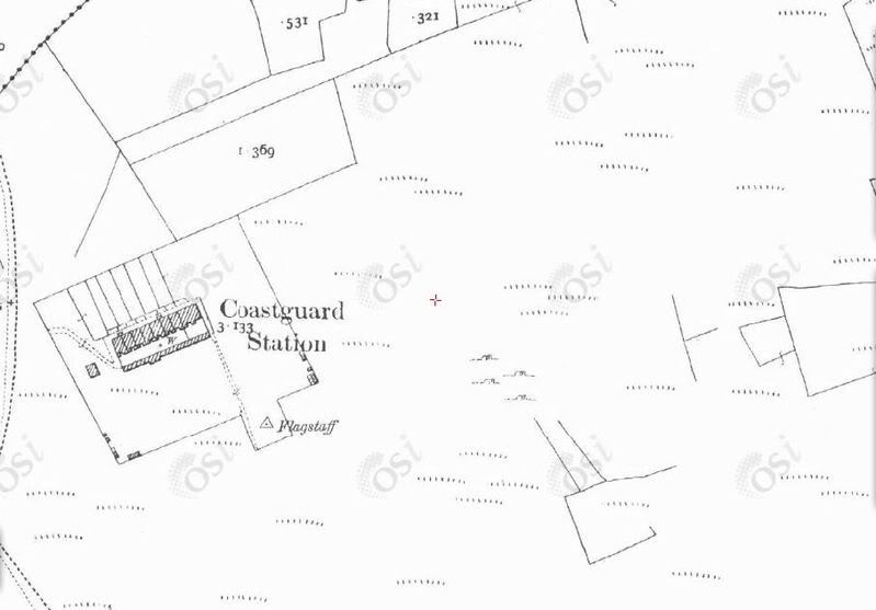
1902 Ordnance Survey map. The green is located in the small rectangle just above the Coastguard Station.
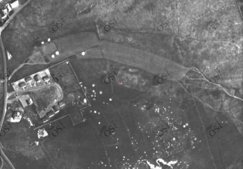
1995 Ordnance Survey aerial.
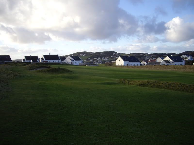
The approach to the green. The hole is 419 yds, and as well as requiring an uphill blind drive, it usually plays into a headwind. The boundary bank comes into play for the second shots landing short.
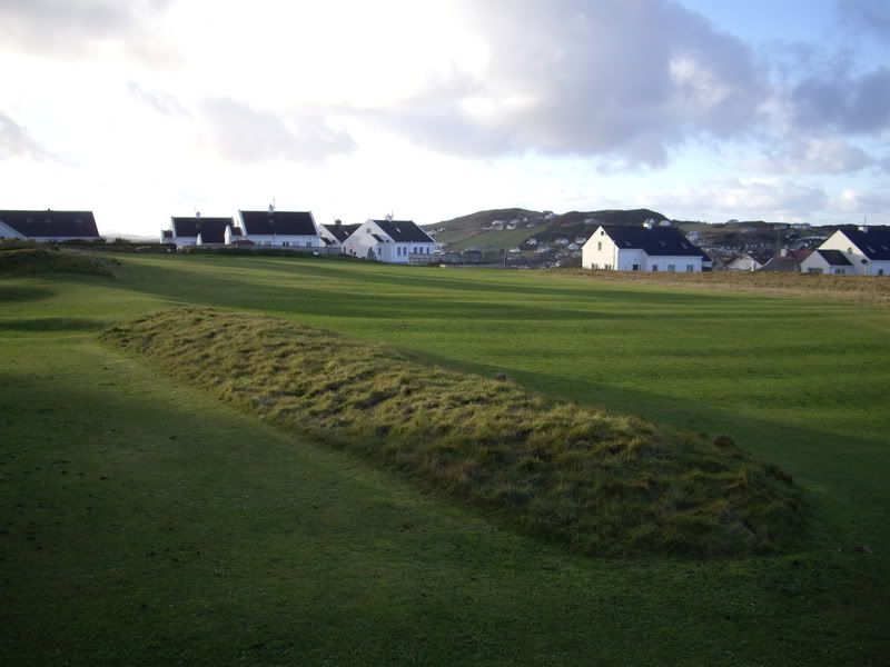
The centre of the fairway.
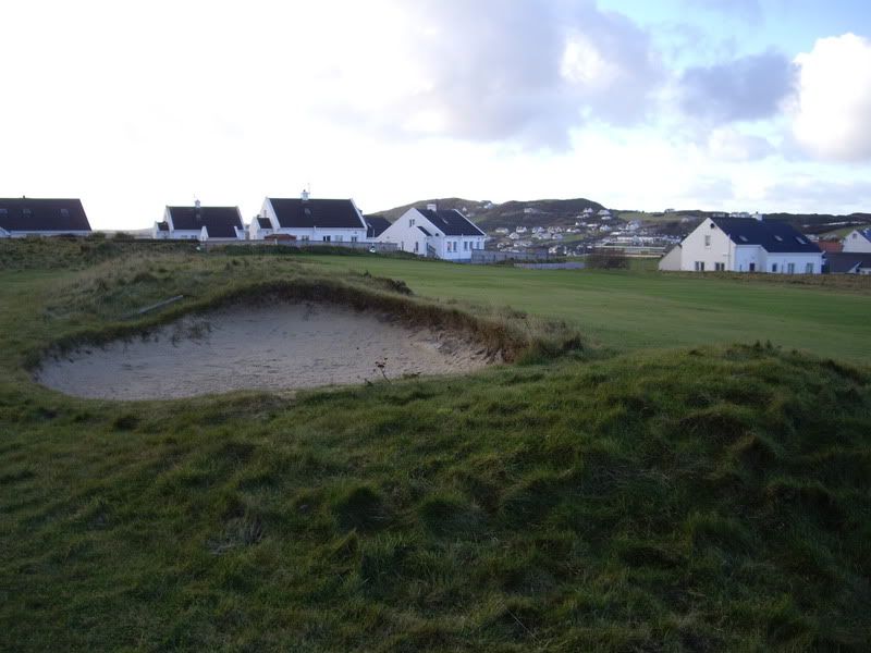
Bunker dug into the boundary wall on left side of fairway.
A similar hole playing towards this green location existed in the layouts of Brown/OTM (1893-95), Vardon (1906) and Colt (1911-1913), so they all made use of this man made feature. Clearly, some work was done at some stage to level portions of the bank, but I cannot say who was first responsible for this. The bunker dug into the bank is similar in style to the other bunkers dotted about the course; Colt being the last architect to work on these old holes that no longer are part of the OTM course.
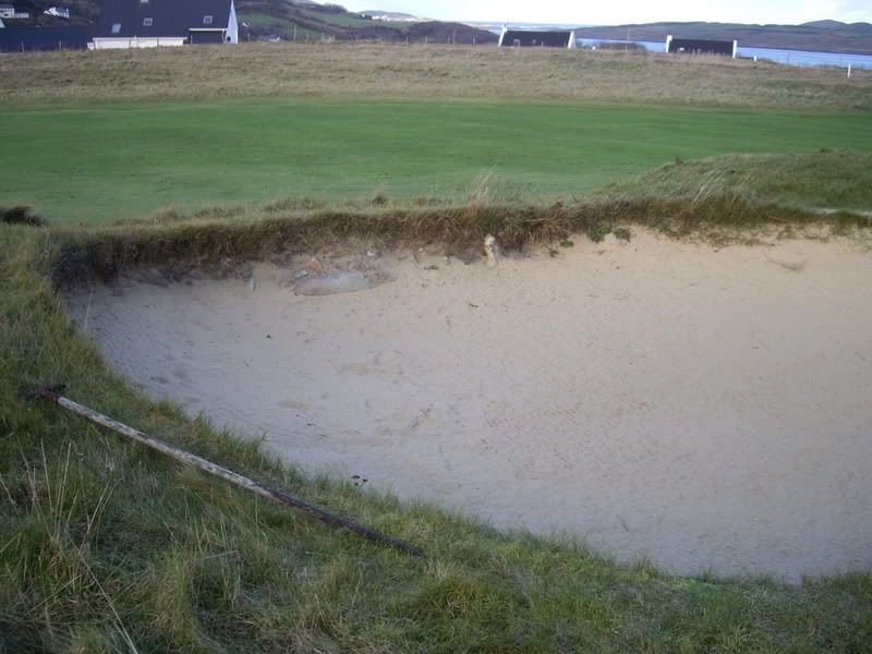
Some rocks that would have been used to build up the original boundary bank have now become visible in the bunker.
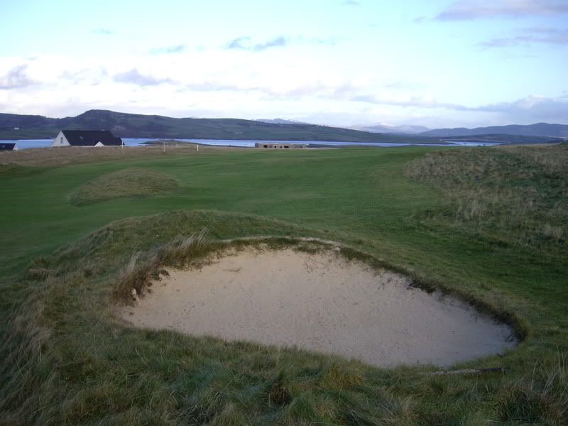
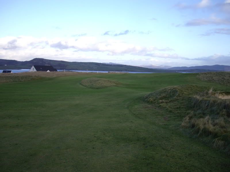
Looking back down the fairway. The other boundary line is visible in the left centre of this photograph and ran at right angles to the line crossing the fairway.