Mike Cirba's most recent drawing may be worse than his first. Look at his own "1915" map he recently posted. The fifteenth hole started from a point
north of the clubhouse and was listed at 464 yards, and the 16th tee was north of that. Look at the location of the clubhouse on his latest drawing relative to the northern border. What is there, about 75 yards for this 15th hole? Mike needs to learn that if he has to twist the facts to make his point, then his point is not worth making.
__________________________________
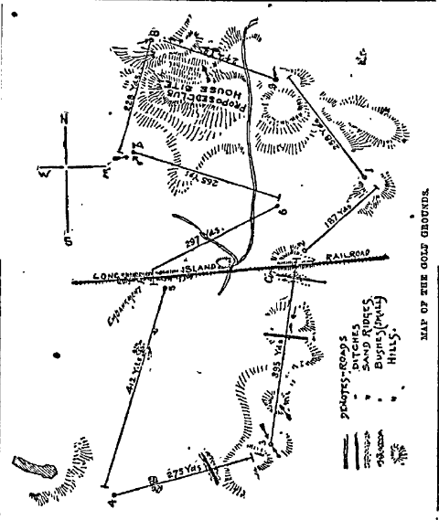
Briefly and roughly: Shinnecock's original 9 hole course (Davis) was laid out before Shinnecock even owned their land. When they purchased land (reportedly 80 acres,) the existing course did not fit on the purchased. Rather, the course extended well south of the RR tracks and south of the southern boundary, and Davis' women's course was reportedly south of the men's course. Below is the men's course in 1891. Note that a small portion of the course was north of the clubhouse (first tee, eighth green, and the entire 9th hole.)

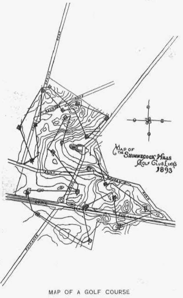
In early 1893, Dunn redesigned much of the men's course. creating a 12 hole course that only used about 10 or 11 acres south of the RR, but extended further north of the clubhouse.
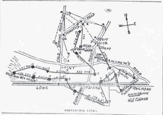
He also moved the women's course to North of the men's course. Note that the land extends north of the clubhouse and that a substantial portion of the women's course is north of the interesection of the intersection of Cold Spring and Raynor Roads, both still marked on the 1915 map. [Mike's latest drawing may not even extend this far north.]

In 1895 Dunn converted the course to 18 holes by adding a western extension of six holes on about 30 acres of land the club had leased (and would later purchase.)

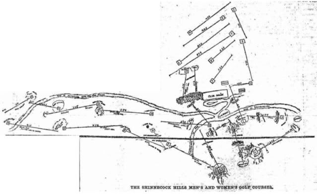
By 1898 the women golfer's (some of whom were extremely accomplished) were reportedly tired of their short "beginners" course and wanted a real course, and they began to usurp the Men's course. (Reportedly they played the course as a twelve hole course, skipping the loop to the west.) So in 1898/1899 the club reportedly purchased 20 acres of land to the north of the current course and extended the women's nine into one the longest nine hole courses in the nation. Below is a early rough rendering of the layout from 1899. Note that the from a point about even with the clubhouse the 2nd and 3rd run close to straight north and measure a combined 800 yards, and the 4th tee is beyond this.

Between 1900 and 1906 there was reportedly at least one other small land purchase of 5 to 8 acres well north of the clubhouse, toward Bullshead Bay.
So far as I can tell from the maps and various reports, changes which took place between 1900 and the major redo by CBM and Raynor in or around 1917 all took place on the land north of the clubhouse, which was originally laid out as the women's course. For example, Shinnecock substantially lengthened their course and made other changes in or around 1913 (after NGLA and after Hutchinson had criticized their course)
using the land purchased in 1898/1899 for the women's course.
So while it may be true that the the men's course had undergone changes between 1915 as compared to fall of 1906, SHGC already owned the land. And by 1906 SHGC's land reportedly extended well north of the the clubhouse; judging from the hole distances on the schematic, close to a half mile north, at least. And, as mentioned above, Shinnecock had acquired additional land to the north prior to 1906.
In contrast, the 9th green at NGLA is only about 220 yards north of Shinnecock's clubhouse. (In other words, about 220 yards north, from a point directly east of Shinnecock's clubhouse.)
So, despite Mike's adamant claims and his deceptive drawings, a portion of the SHGC land was directly east of the SHGC land. And the land CBM was considering may have even extended further south than this.