John Llewellyn has a great website called Golf's Missing Links which details the NLE courses of the UK and Ireland
http://www.golfsmissinglinks.co.uk/I believe Melvyn has highlighted John's website before on GCA. Searching through it for Mackenzie mentions I was intrigued to find the Dr's name associated with a little nine hole course at Rhayader in Powys, central Wales, that no longer exists. And although the course went out of use, the land appears to have reverted to a farm and it appears the greens, tees etc can still be seen in the landscape.
Golf started in Rhayader in 1908 but this course appears to have gone out of use with WW1 and the need for agricultural land.
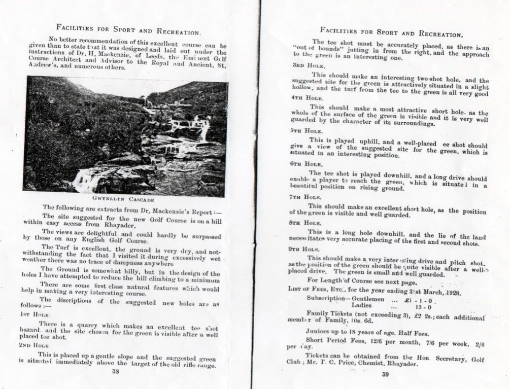
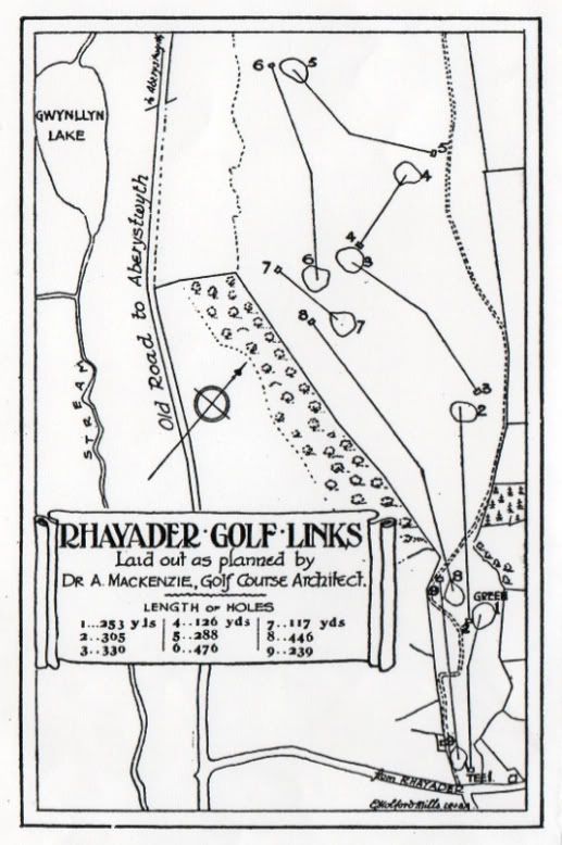
John found a few pages on the Rhayader course that was established in the 1920s on a different site, in a local guidebook called "Rhayader on the Wye" published around 1926. In it they described the location of the course and that Dr Mackenzie of Leeds had planned the course, and included an extract from his original report and a plan of the course as he designed it and laid it out on the very hilly site. John records:
Following WW1 attempts were made to bring golf back to Rhayader. It eventually happened in 1924 when it was reported that members of the Golf club were making satisfactory progress in the task of bringing their course up to the standards which they had enjoyed before the war. By 1925 work had begun on the layout of the new course which was situated in the hills a mile from the town. The views overlooking the town and Wye Valley were superb. The course was laid out by the eminent golf architect, Dr Mackenzie who reported,
“The site suggested for the new golf course is on a hill within easy access from Rhayader. The views are delightful and could hardly be surpassed by those on any English course. The turf is excellent, the ground is very dry , and notwithstanding the fact that I visited it during excessively wet weather there was no trace of dampness anywhere. The ground is somewhat hilly, but in the design of the holes I have attempted to reduce the hill climbing to a minimum. There are some first class natural features which would help in making a very interesting course”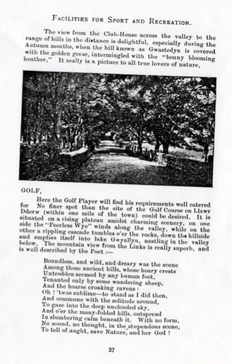
It seems the club folded in 1968 and the course went out of use.
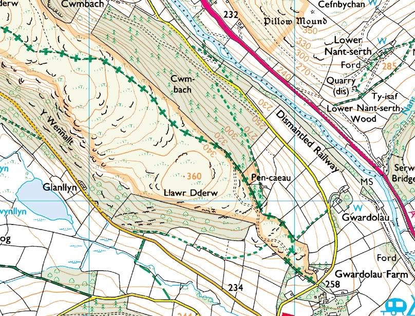
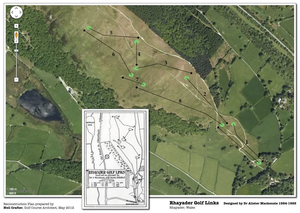
This prompted me to take a look on Google Earth and the land that the course was laid out on. I have attached a contour map of the land which shows how hilly it is and I also overlaid the aerial with my reconstruction of where the holes were, based upon the plan. As John lives in Wales he hopes to go out to the land again and endeavour to locate greens and tees more precisely, which sounds like a fun exercise.
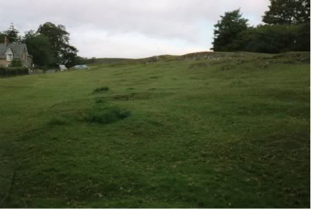
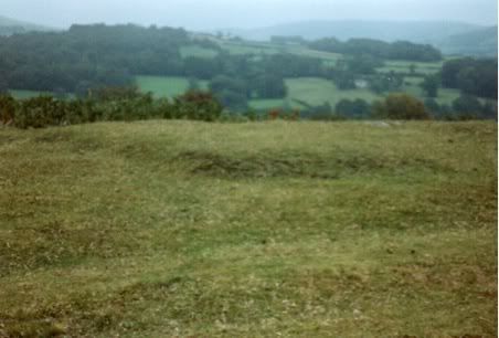
John also took some photos of the land when he visited and I have also attached these. The first of these is looking up on the alignment of the 1st hole, but he is not certain which holes the other photos may relate to.
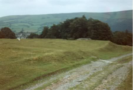
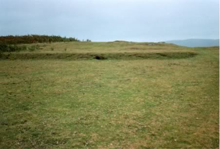
It still surprises me that we are still finding previously unknown Mackenzie courses today, and I hope I continue to be surprised. Thanks to John for all his help with this, for making the discovery and allowing me to share it here on GCA.