A little over a year ago I spent a cold yet sunny afternoon with my father, walking the Coastguard Station holes at Rosapenna (Old). These holes were retired from the old course in October 2009, and were replaced by nine new holes on the southern side of the Downings-Carrigart road. The new holes, initially named the Strand nine, together with the nine older holes in the "Happy Valley" (as the Irish Times correspondent described it in January 1909) now constitute the Old Tom Morris course.
The Coastguard holes, otherwise known as the "holes across the road" had become a liability due to a number of dangerous road crossing holes. This had not been a problem up to the mid 1990s, but then the boom hit the Irish economy and there was a dramatic increase in car ownership, as well as tourism. Driving - for both cars and players - across holes 11, 16 and 18 became dangerous.
These holes were not loved by many (shame on you Muldoon

), and always came off second best when compared with the holes down in the valley. They were criticised for being "non links-like" and a bit of a slog. There can be no denying that the old course had a bit of a Jekyll and Hyde feel to it. The valley is as perfect a stretch of sandy linksland as you could wish for, whereas the Coastguard holes sit on land that could best be described as "Just an auld water meadie" to quite Andra Kirkaldy's description of the old Muirfield course. Nevertheless, it was invariably the Coastguard holes that elicited the most attention.
After quickly glossing over the valley holes, Jim Finegan, in his book "Emerald Fairways and Foam-Flecked Seas" went into ecstasies over the the second nine:
The second nine - more specifically, the final eight, stands in sharp contrast. Here, again and again and again, it is spectacular golf, literally golf as spectacle, that we savor. Having turned our back now on the dunescape and left the low ground, we play up and down and over and around a single great hill.He continued:
The three holes that take us home are more of the crowning glory that is Rosapenna, with 17 in particular laying it all out for us, an arresting 360-degree panorama of town and water, meadow and mountain. Rosapenna, staggering in its beauty, endearing in its naturalness, is the only course I can think of that is ringed by water and ringed by mountains.I echo Finnegan's comments regarding the 17th hole. There can be few more dramatic vistas in golf than the one which greets the golfer as he leaves the old 16th green and walks uphill to the 17th tee (unfortunately my photos do not capture this).
So what's left of these holes? The first half of the old 11th hole and the final approach to the 18th hole are no longer used. The old 18th green is now a practice putting green and the first fairway is currently being used as a nursery for replacement turf. Two new greens were added to complete the "Coastguard" academy course; one to the left of the old 11th fairway, and one to the right of the old 18th fairway. There is now only one road crossing at the 12th (now the 2nd hole on the Academy course). The only hole that is not being used for golfing purposes is the old 1st hole. Not all holes have been changed, so it's still possible to play the original and unaltered 12th, 13th, 14th, 15th and 17th holes.
As will be seen, there are many new houses encroaching this nine. The first of several houses was built in the late 1980s on the right of the old 1st hole. Then a few more were built behind the 15th green, right on the spot where the 16th tee originally was. Some more were built in front of the old 2nd tee, overlooking Tramore beach. The building continues today, with more new houses going up on the left of the old 1st hole as well as the right of the old 15th hole. The 1st hole will soon be surrounded on three sides by housing.
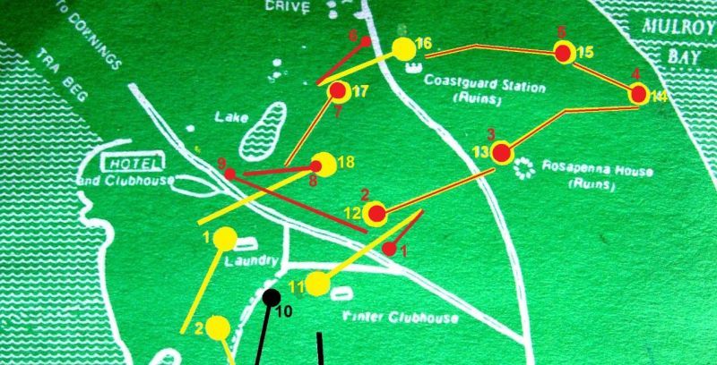 The Coastguard holes (in yellow) with the Academy holes (in red) superimposed (2011). Note that the circles denote tees.
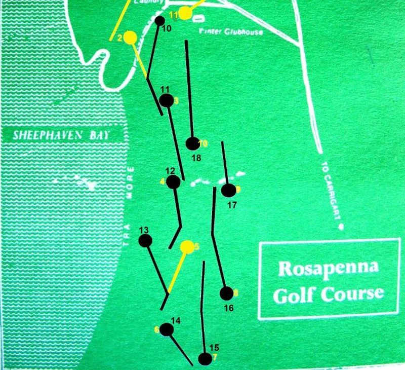 The old Valley holes (pre-2009 in yellow) layout and the present layout (in black).
I should also say a few words about the numbering of the holes. For many years (1913-1964 I believe), the first hole on Colt's layout was what I refer to as the 11th, however when the new hotel - built in a different location - opened in 1964 (the old Norweigan style wooden hotel had burned down on 16 May 1962), what had been the 9th hole, became the new 1st hole. The old 1st hole was too far away from the new hotel, so the hole with the tee closest to the hotel was chosen at the opening hole. The order of the holes was reversed in October 2006, when the 11th became the 1st hole once again. I believe this order was retained until October 2009. I will continue to refer to the long par four that heads out towards the Coastguard station as the 11th hole, although some may have played it as their first hole.
I have photographs of holes 11 to 2. Please excuse my shadow in some of the pictures; there was no way to avoid this on a cold winter's day with the sun setting in the west. A few minutes after we left Rosapenna, it started to snow, so I was fortunate to grab these photos when I did.
The old course was redesigned by H.S. Colt. According to Sutton's Seeds Minutes of Meeting (thanks to Tony Muldoon for this info), Colt was involved with Rosapenna from December 1911 or earlier. The course was still under construction in May 1913 when the Irish Times correspondent visited once again. An estimated £3,000 was spent on construction, and even a light railway was used to transport earth.
The Irish Times correspondent paid a visit to the course in the Spring of 1913 and reported the following (Irish Times, 17 May 1913):
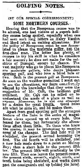

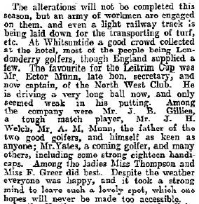
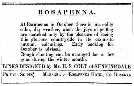 Irish Times advertisement from 1st September 1919.
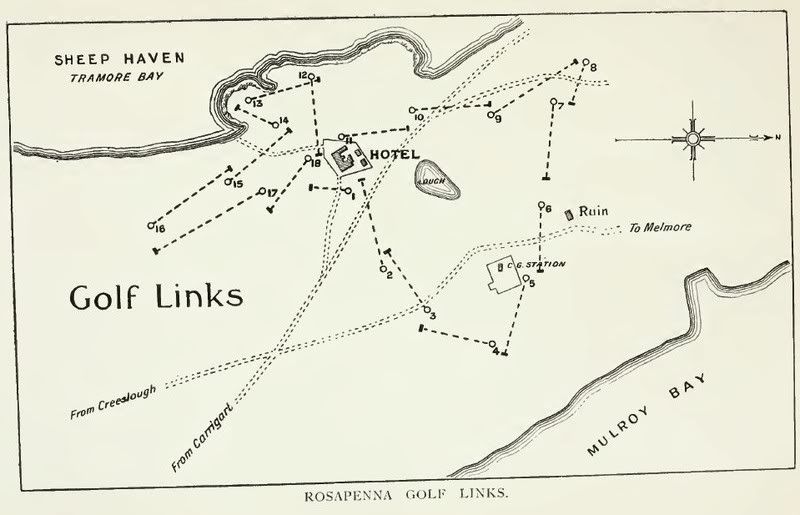 The Vardon layout from 1906 (Picturesque Donegal, Shrubsole 1908).
Harry Vardon redesigned the Old Tom Morris & Anthony Brown layout in 1906. For ease of writing, I shall refer to the layout that Colt inherited in 1911 as the Vardon layout. Kevin Ward has written a book titled "The Story of Rosapenna" that contains two layouts, one that is said to be the original Old Tom Morris layout of 1893, and another from 1897. The book contains so many errors that it is difficult to take it seriously. Maybe when I have time, I will start a thread on the what I know of the Morris & Brown layout. Braid has been mentioned as lending a hand in some way, but I have not unearthed any evidence, although I believe Braid himself mentioned in his book (or perhaps Darwin's) that he carried out some work at Rosapenna. Robert Kroeger has also a chapter on Rosapenna in his book, but he also made many assumptions that in my opinion, just don't add up.
Colt tweaked Vardon's first few holes, and then branched off in a totally different direction after rounding the Coastguard Station. I shall point out these deviations as the photo tour progresses.
Hole 11, 427 Yds, Par 4Colt "abolished" the Vardon's first hole which was a par three across the avenue. The par four second then became the new first. It seems probable that Colt placed the new first tee some 80 yards to the south east of the old second tee. The old second hole was named "Rock", and I suspect that that was because the hole originally was routed over or close to the conical rocky mound that lies a little left of the 11th fairway.
Edgar S. Shrubsole toured Donegal in 1907 and provided a comprehensive description of the Rosapenna course in his 1908 book "Picturesque Donegal". He wrote the following of Vardon's 2nd hole:
The tee for number two, "Rock" (410 yards), is advantageously placed . A drive in the direction a little to the right of the Coastguard station, over the road leading to Downies, should leave a brassey and pitch to finish. The player is on gradually rising ground of rare golfing quality, affording excellent sport.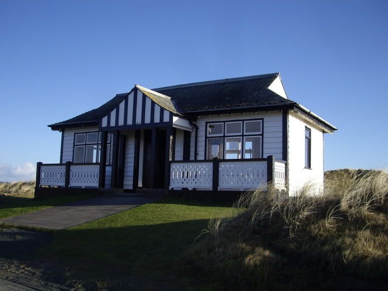
The "Winter Clubhouse". I believe this may have been the starters hut back when this was the opening hole.
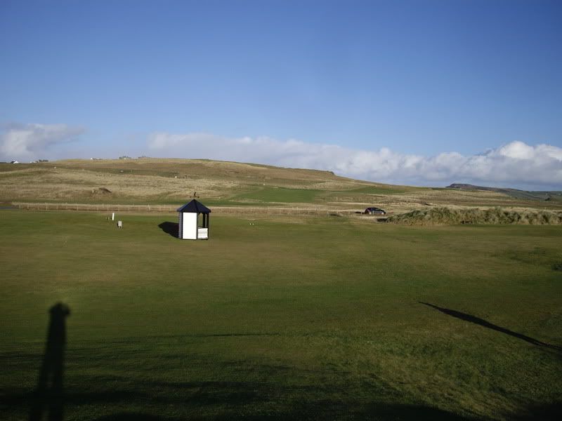
The scene from the 11th tee. The first tee and shelter of the Strand nine is now located a little in front of the old 11th tee. The 1st hole on the Strand nine plays directly to the right in the photograph. The Downings-Carrigart road is clearly visible in the centre of the photograph. While the traffic is quite light in winter, during the summer months there is a constant stream of vehicles passing back and forth. It then becomes evident how dangerous the situation is, and that the owners were left with no alternative, but to eliminate as many road crossings as possible. Notice the rocky mound across the road and lying left of the kiosk. I suspect it was this rock outcrop that gave Vardon's second hole its name.
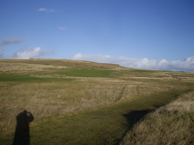
In the past, the rough to the left (just above my shadow) in the foreground would have been mowed to fairway height.
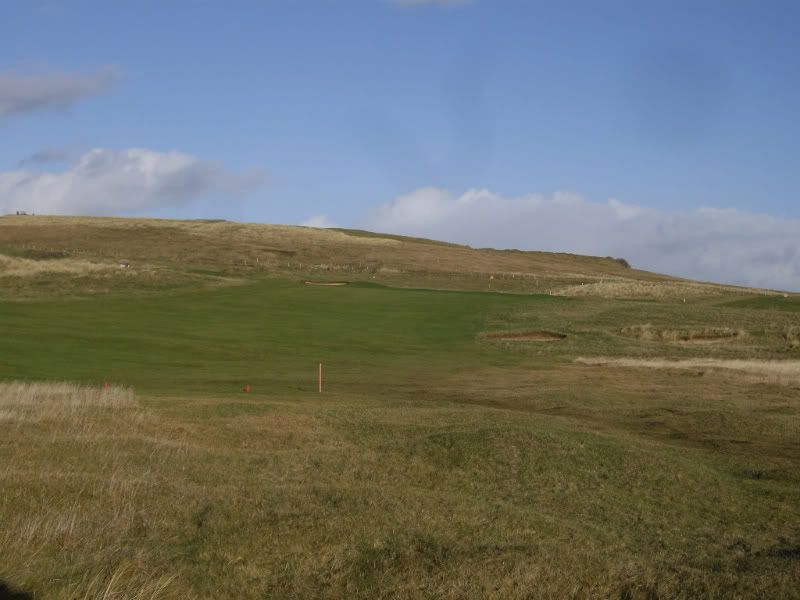
A decent drive would be expected to carry beyond the ladies tee in the foreground. This hole is now part of the "Coastguard" or academy course and is used mostly for tuition and juniors. It is now played as a par three of 206 yards.
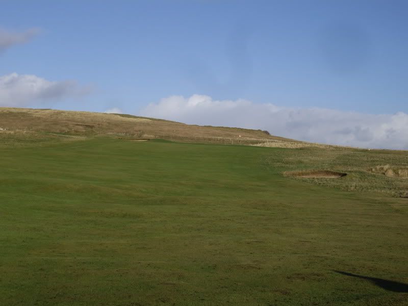
A typical view of the green from the landing zone. I imagine that this fairway must have been very wide originally, as both bunkers are now surrounded by rough. I wonder how effective these bunkers were, as even today, the fairway is quite generous.
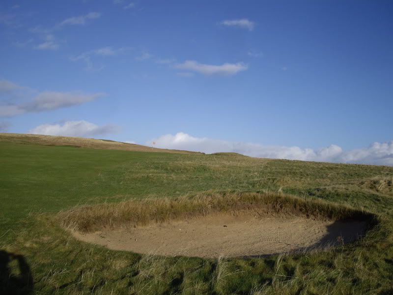
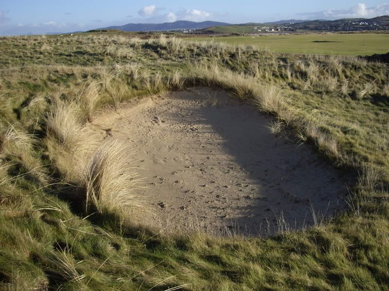
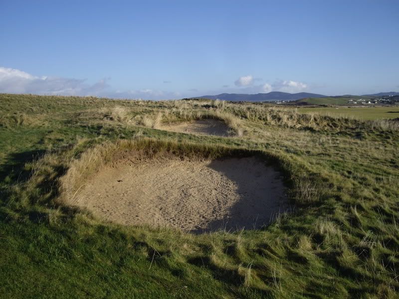
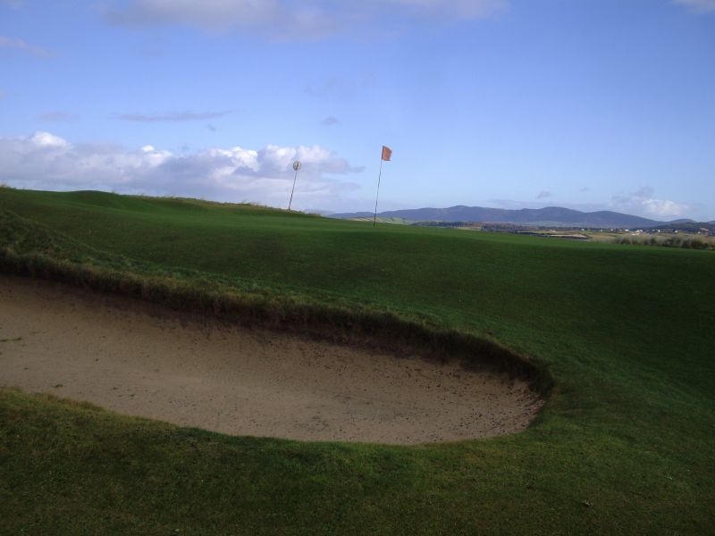
I love the rugged and raw appearance of these bunkers.
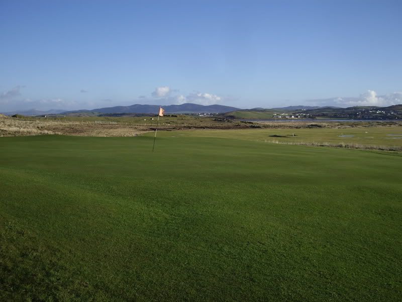
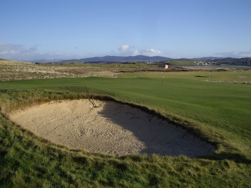
A view of the bunker guarding the left side of the green.
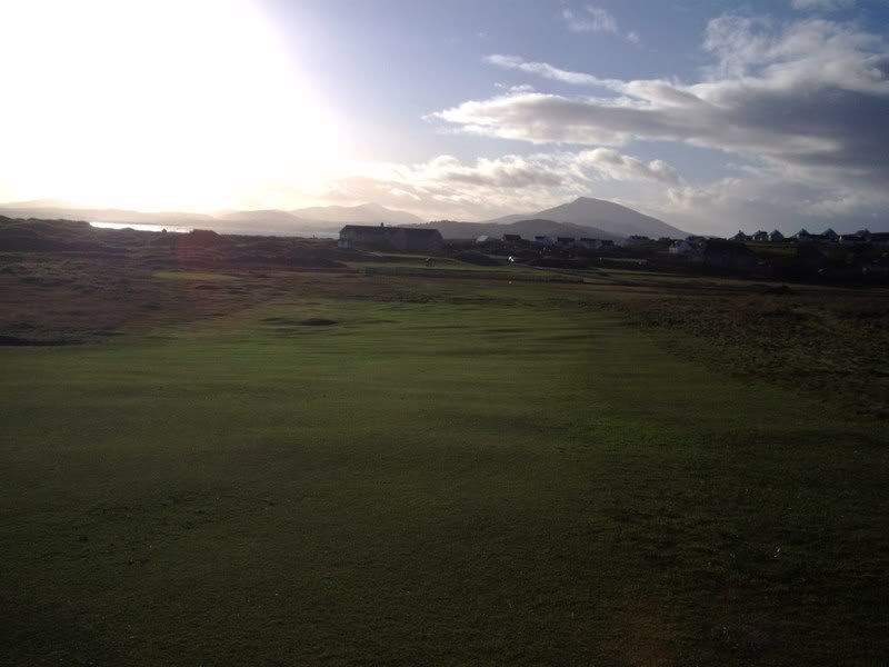
Looking back down the hill towards the tee and new clubhouse.
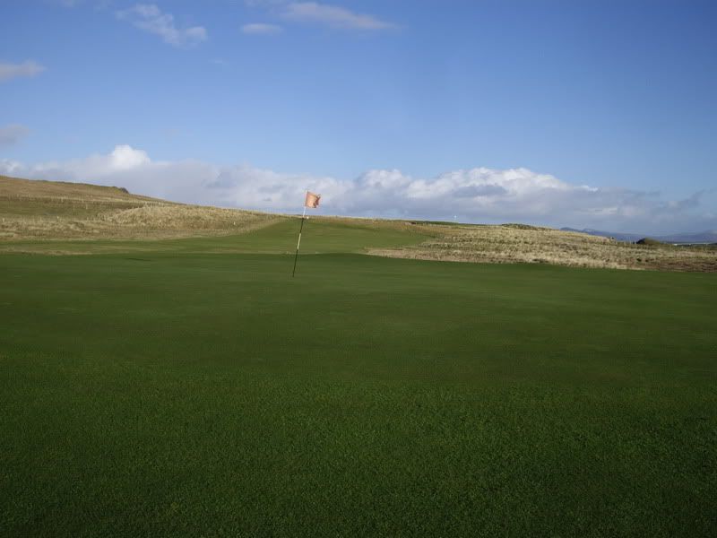
The 11th green with the 12th hole in the backgound.
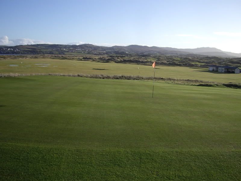
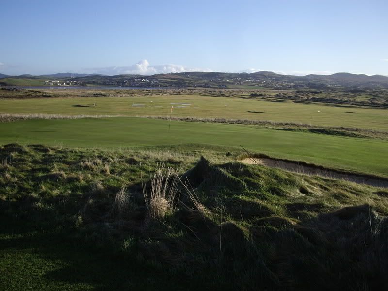
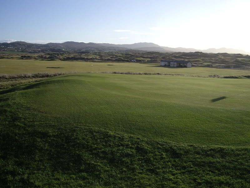 Hole 12, 343 Yds, Par 4
The Vardon layout (see above) suggests that the green was no more than 50 yards on the other side of the road, but Shrubsole's description leads me to believe that Colt used the same green location over 100 yards beyond the road:
Number three, “Castle” (309 yards), is over the road leading to Melmore Head. The altitude increases and the view enlarges. In the distance is the lofty mountain range beyond Gortnabrade dominated by Errigal; just below is Sheephaven Bay, while right out in front is the rugged Fanad Mountain range. A drive of 200 yards up a rise brings Mulroy Bay into sight. For the second stroke a well-judged iron is needed.So it appears more likely that Colt simply pushed the tee about 30-35 yards back from Vardon's tee location.
The 12th hole always felt a bit awkward to me; probably because I was unable to hit my drive long enough to carry the road. I estimate that it's about a 250 yards carry to clear the road. I can't help wondering what Colt thought of this hole and why he retained it. The green is visible from the tee, but the second shot would have been blind to all but the mightiest of hitters back when the course was opened. The green itself is really interesting; is it a typical Colt green? I must confess that I'm not a Colt expert, but I do like the little slopes that are present around the edges of many of the greens. The hole is still in play and is the only hole that still has a road crossing.
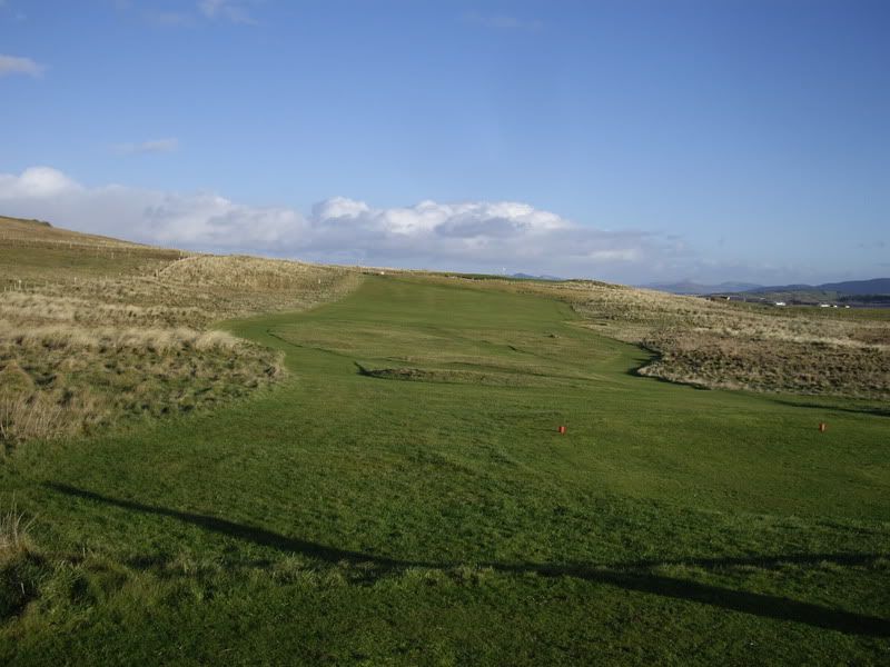
The white marker post on the horizon indicates the green location.
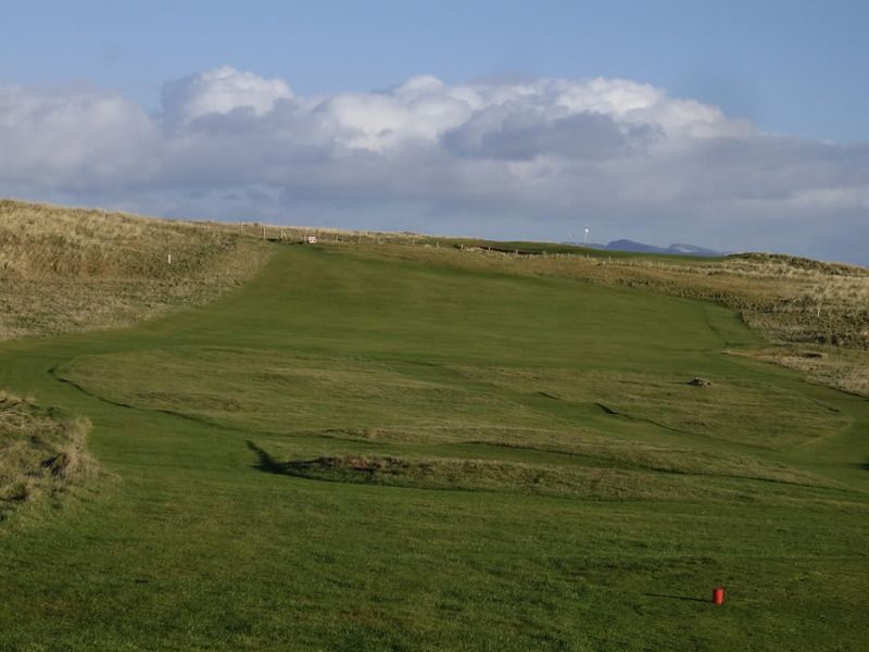
The fence can be seen before the green; it looks quite close to the green, but it's approximately 100 yards from the fence to the green. The road crosses the hole just on the other side of the fence. The fairway is quite wide but ...
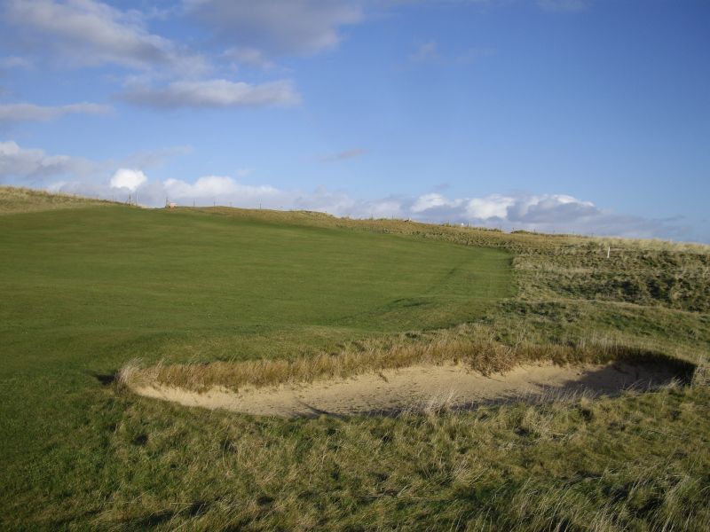
the rough has been allowed to grow in border most of the fairway bunker.
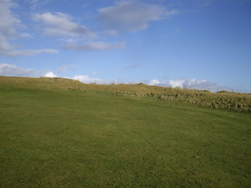
If you are unable to carry the road, this is what your approach will be.
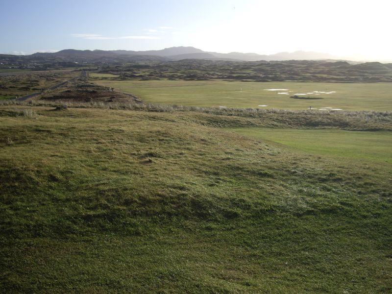
The fairway ends about 20 yards short of the road. What was Colt's idea here? I never thought about laying up when I played this hole, although much would depend on the local rule regarding the fences on either side of the road. I seem to recall that it was a free drop from the fences and road.
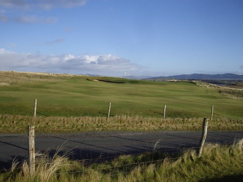
Many a drive got caught up in the long grass by the fence.
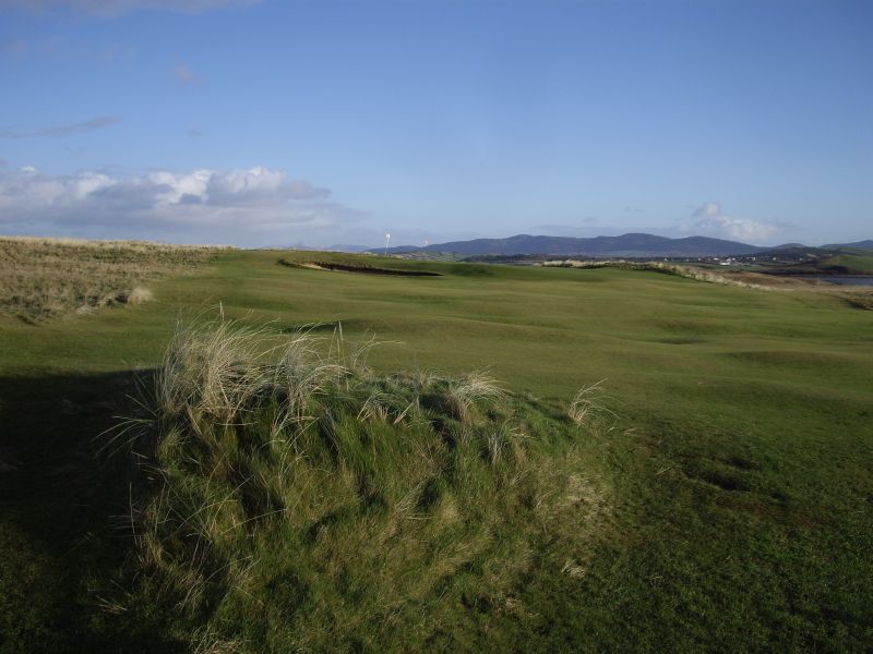
This part of the fairway has some lovely undulations.
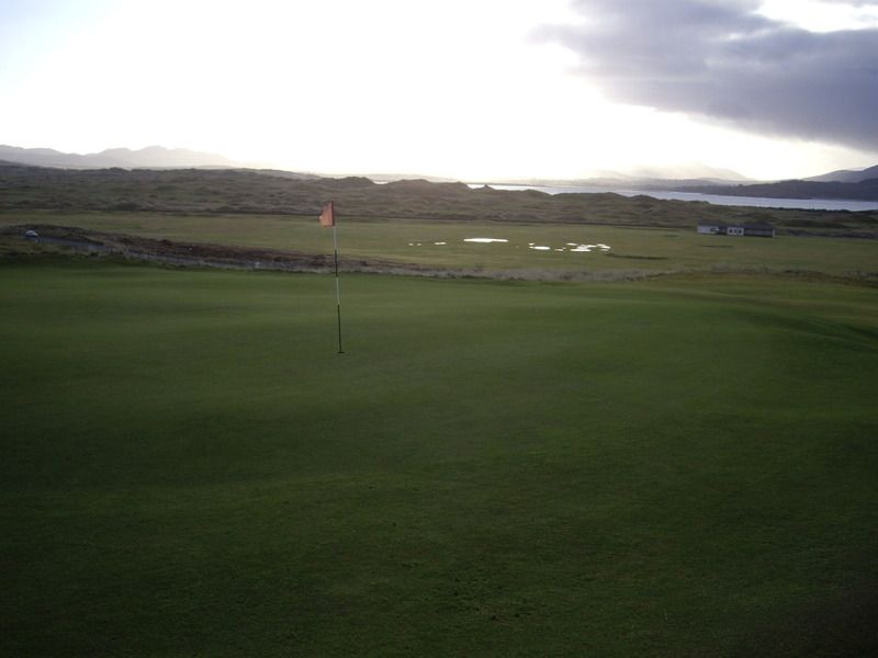
Note the ripples on the right side of the green; they don't begin at the edge of the green and fall away artificially. The little dips and slopes that are present on many of these green start a few feet into the green and drop (or rise) off the green naturally.
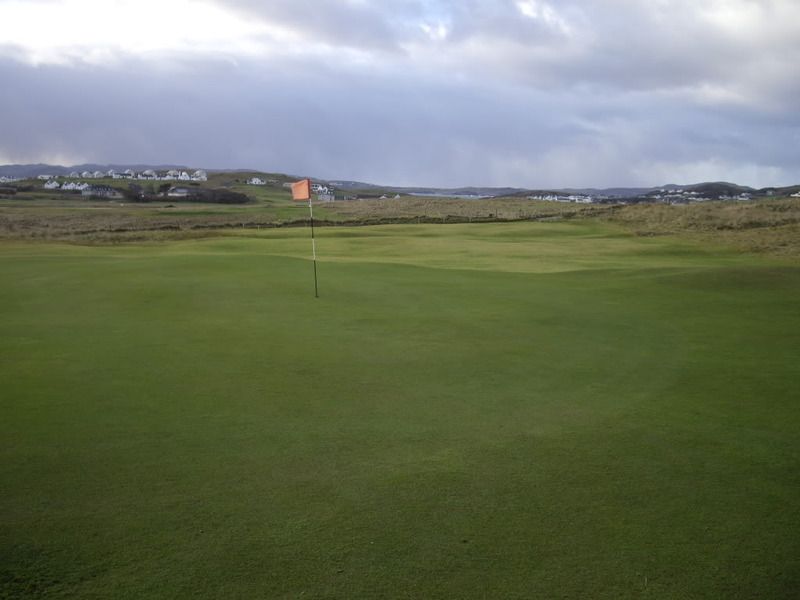
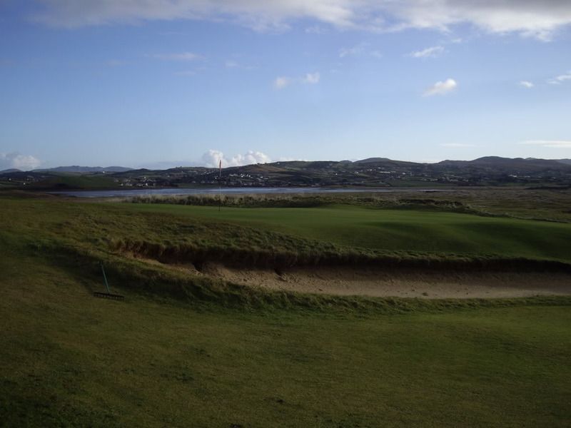
The green is about 3-4 feet above fairway level. I assume this green was built under Colt's supervision.