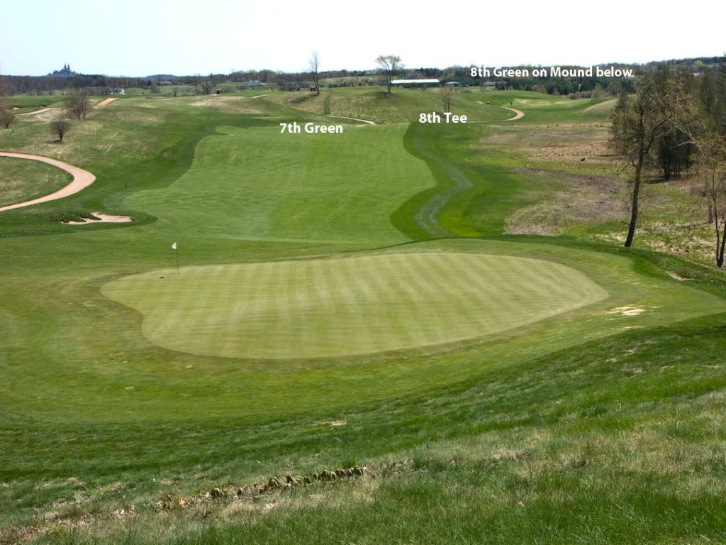
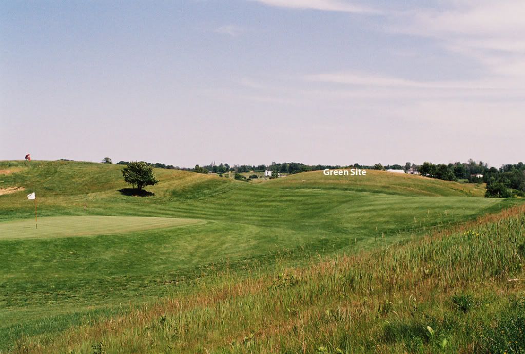
Tom Doak was kind enough to contribute part of his original Erin Hills routing to Charlie for the Armchair Architect contest. The routing as sketched up by Charlie was presented at the beginning of this thread and included Charlie's hole by hole drawings. I added a copy of the routing over the topo map that was posted.
I'm on record as a fan of Erin Hills, no doubt in part because I grew up about 30 minutes from there, but also because I have walked the course and played it several times. It is an incredible property that could have yielded any number of top notch routings.
I've had some fun locating Tom's routing on some of my photos from Erin Hills. I thought I'd share some of those photos, not to criticize EH, but as a fascinating look at the routing process and the variety of possibilities inherent in the glacial undulations at Erin Hills. Hopefully, I got most of it right.
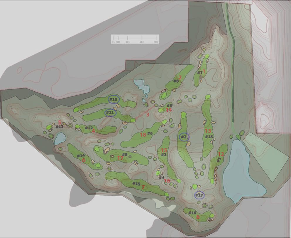
Tom's holes are indicated in red on the routing topo map. Hole #1 was presented above.
Here are Holes 2-8. Holes 9, 10 and 11 circle the water feature and are not part of the current course. I'll add the back nine soon.
Routing Contour Map of Holes 1-3
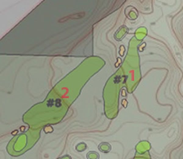
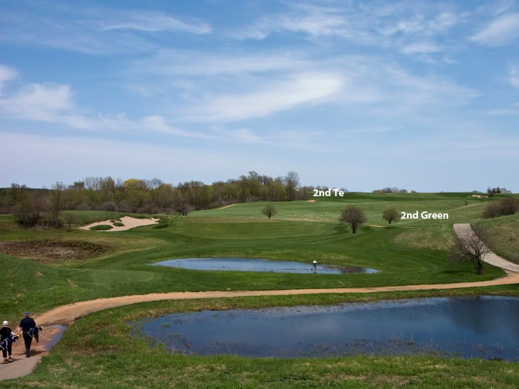
Hole #2
This hole starts near the 11th tee of EH and moves SE toward the 13th green. This photo of EH 13th shows the tee in the background, a major drop off in the fairway lz and the approximate green location. (Note Tom Doak correction indicating green is located in the high ground to the right in the photo.)
Contour routing map of Holes 3-5
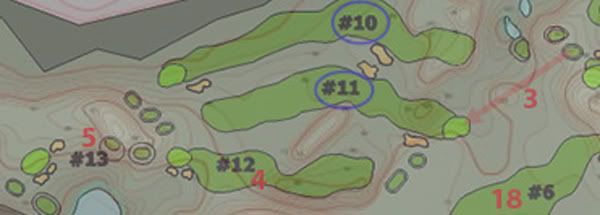
Hole #3 This par 3 hole has the tee on the mounds to the right on the crest of the hill of the 12th hole with the green located beyond the 12th green.
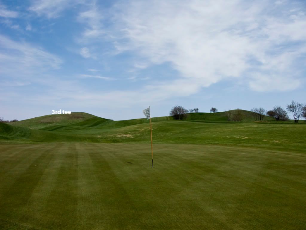
This should say 3rd green
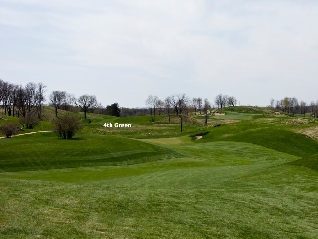
Hole #4 This hole moves through the corridor the 17th hole. The tee is behind the 17th green, the fairway bends around the esker to a green located in the rough to the left of the start of the 17th fairway. Note how the esker is used as a feature in the landing area.
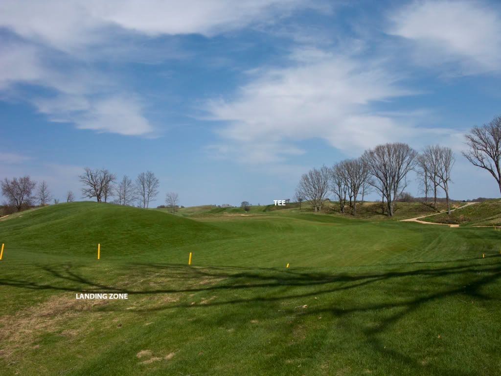
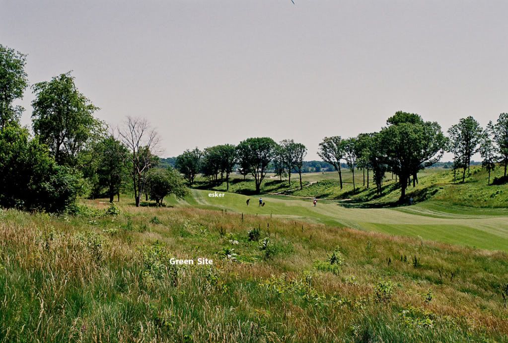
Hole #5 A par 3 from near the 17th tee to a greensite behind the 16th green
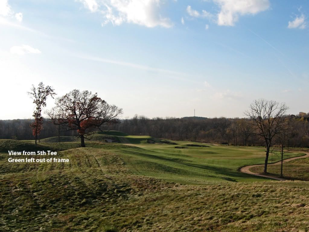
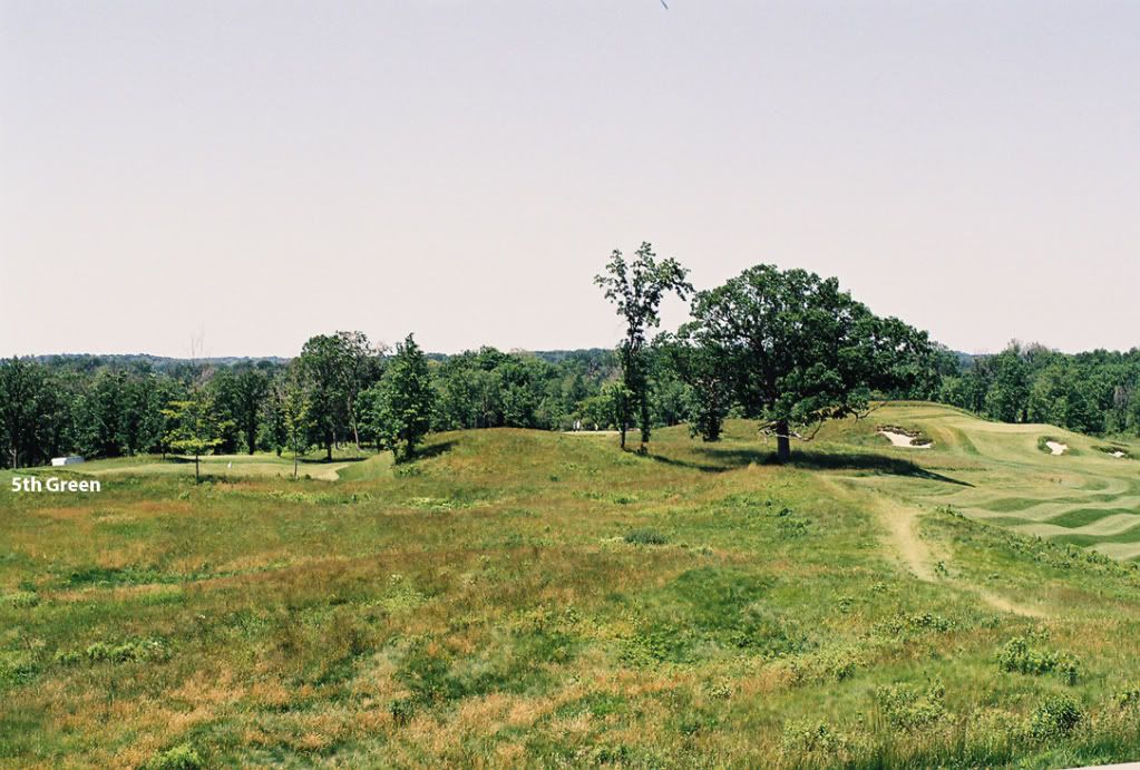
Contour Routing map 6-8

Hole #6 This hole begins near the 16th green behind the current 4th green, proceeds down the 4th hole corridor (in the opposite direction) with the green tucked to the left in what would have been the rough at the beginning of the 4th fairway.
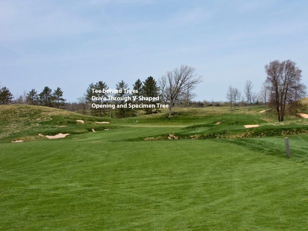
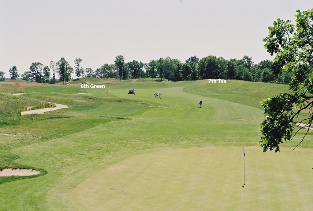
Hole #7 Looks like a par 5. Tee located in the rough of the 4th fairway, hole proceeds over small hill into the corridor of the 3rd hole, then jogs right around some broken ground with the green located behind a shoulder of a hill.
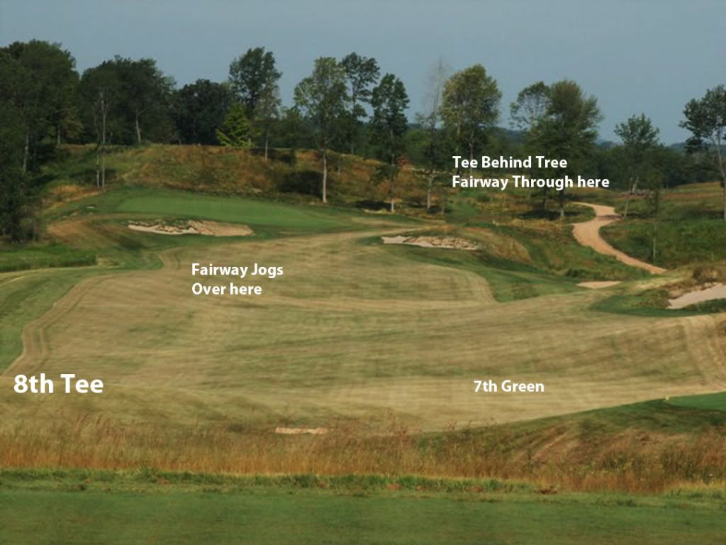
Hole # 8 This very short par 4 starts in the 3rd fairway and proceeds over the controversial 2nd green into a area that is very undulating. The green of this short par 4 appears to be terraced into a rather large glacial mound.
