I wanted to start a new link regarding stream work on golf courses because some may not be tuning into the Bedford discussion and this topic is of some importance for a number of exisiting clubs.
The included photos are from the work that was completed at the Bedford Springs Resort and more specifically Shobers Run which is the stream that winds through the course. Below is a description I wrote in the Bedford discussion.
As for the stream, I am not sure how much Ward was involved, I could be wrong. The main individuals from Land Studies were Mark Gutshall, Jim Baney and Andrew Donaldson.
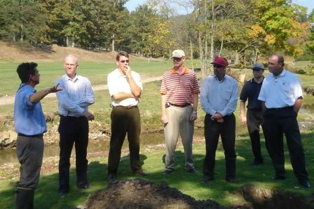
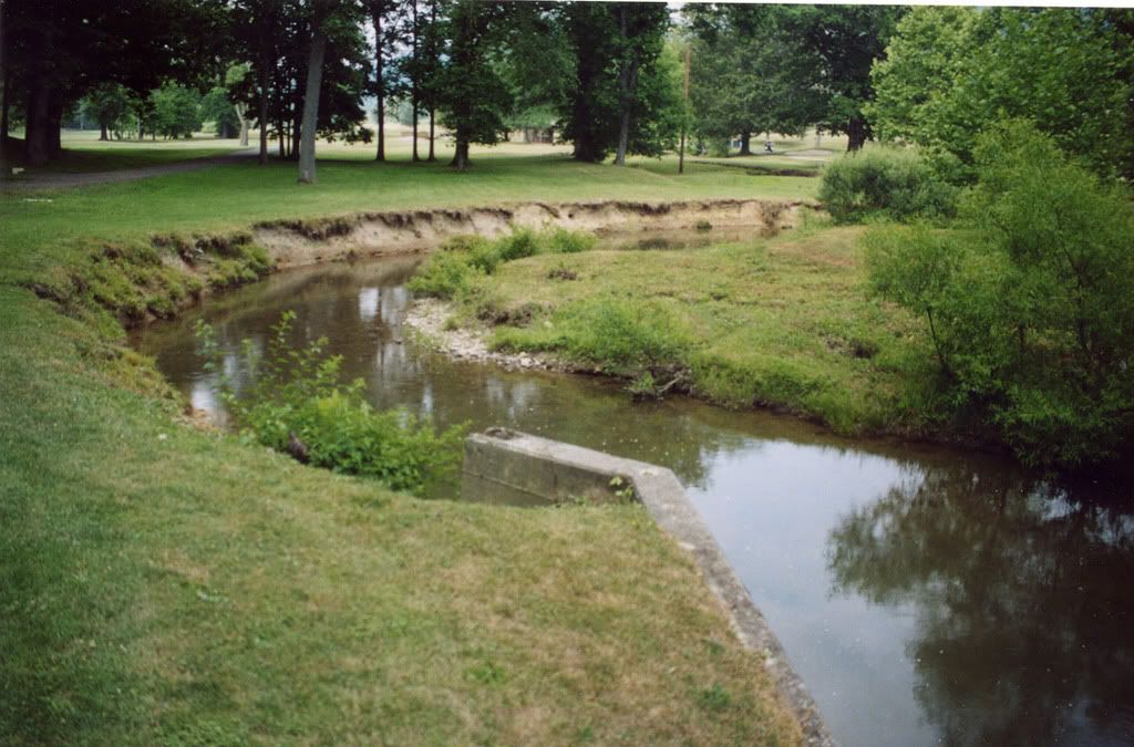
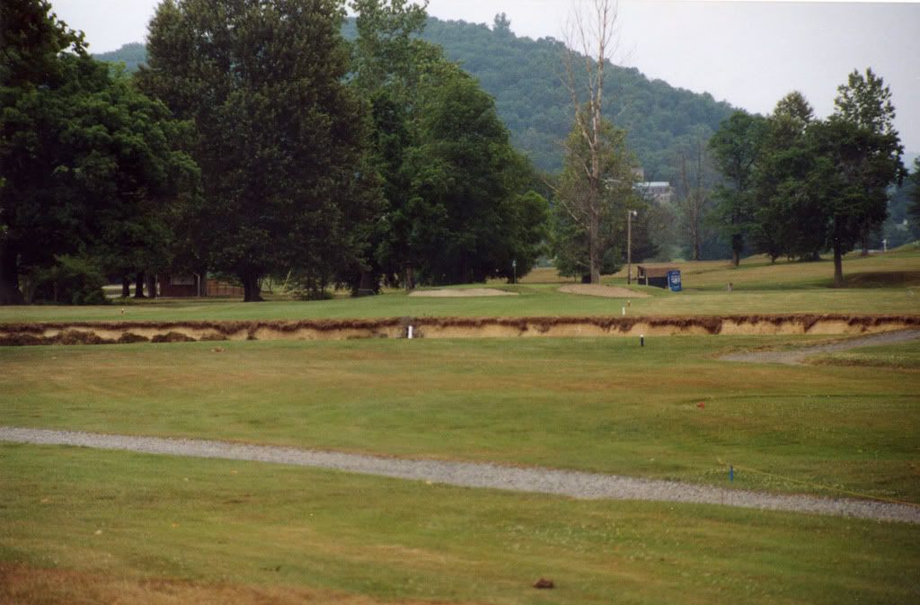
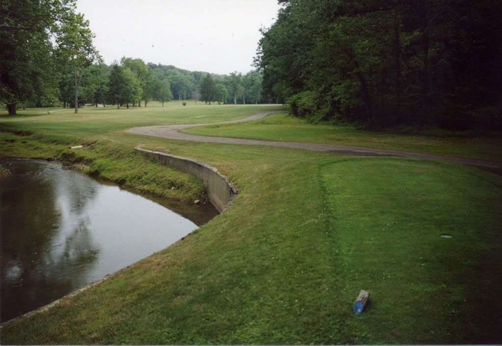
Here is a brief summary of thier work. In the colonial days a mill dam was placed just below the Springs property for the purpose of timbering the area. The mill happens to be Naugle's Mill (my German brethren). Anyway, as the area is timbered and soil is exposed the run-off, silt, deposits into the pond that is created with the creation of the dam. The silt lifts Shobers Run out of its natural gravel stream bed, perching the stream anywhere from 1-8' above the orginal bed. Once the mill dam is non-functional they break the dam, the pond waters begin to flow back into stream form and now you have a floodplain that does not match the waterway and a stream that is above its natural bed. As years went by the Springs come in, the golf course is built and we find a stream that is highly eroded, floods often, and is now in a severe state of decline. Our first thought is to put a band-aid on the stream (i.e. lay the slopes back, use gabions - all the things many, and I mean many clubs have done wrong over the years). Well, I grew up in Lititz and have known of Land Studies since my time as a Landscape Architect in Lititz. Anyway, I told Ron of Mark Gutshall and he remembered Mark from other conversations. We had the "creek geek" out to Bedford to meet the owner and others. He dug a couple of test pits adjacent to the stream some eight feet deep. Anyway, he jumps down into the pits and pulls up pieces of trees, gravel and other debris that have been encapsulated for 200 + years, pretty cool. That help sell the project. Next, we had to get the budget increased by close to 3/4 of a mil. Done! Once the owner knew flooding and CLOSURE of the course could be an issue, it was an easy sell. The stream bed wsa modified, over 1 mile in length. Shobers Run and its tributaries impact 12 holes at Bedford, so it definately needed to be addressed. The final outcome is a beautiful flowing stream with pools, riffle areas, small falls, wetlands.... Just a tremendous addition.
I will get some pictures posted in coming days.
Land Studies has a unique approach to this process on golf courses, they let the golf course dictate design. Mark is doing all that he can to understand what must happen on an existing course and retrofit their design's into the course. He has worked or is working on seven different cleint's of ours. I simply would not look to anyone else.
Mark Gutshall and I do some duck hunting and fishing together and he has mentioned the opportunities that may exist for courses to capitalize on state and/or federal funding to fix drainage, flooding and erosion problems that may be occuring on their courses.
Mannies, Saucon, Lehigh, Brookside, Whitford, Avenel, CC of New Canaan, Bedford and others have looked at Land Studies for help.
The floodplain at Bedford was confined to an average width of 20-30 feet. The conveyance width needed to be nearly 80' to handle the volume and to keep water off the course. One month or so after completion there was a large rain event that in the past would have closed the course for days. Not now, it just barely breeched the decking on the bridges. The mounds you see in the photos, along with greensites and tees were created and raised to help get rid of all the fill.
The following are photos of the stream prior to the work being completed.
You can still play out of the hazard, although not recommended. Just missed my par putt!
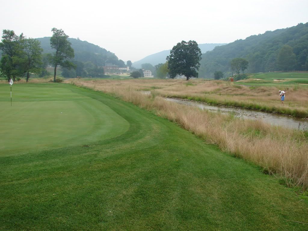
"Oldham" the 2nd hole that dates back to the 1895 course. We requested that Land Studies not modify the stream location along this hole because the hole is original to the 1895 course.
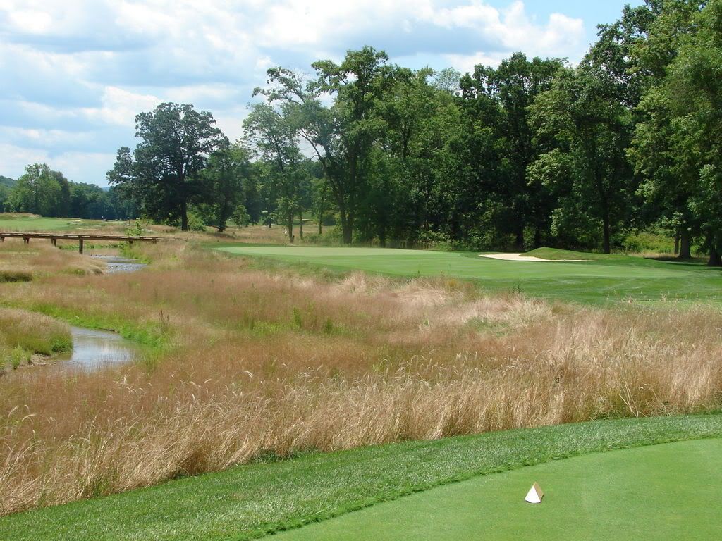
Naturalized area between 1 and 18
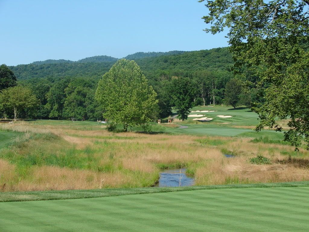
Natural area between 1 and 18 from #14 tees
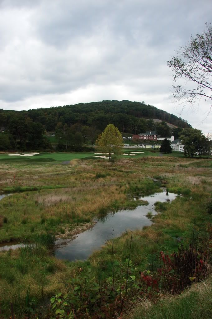
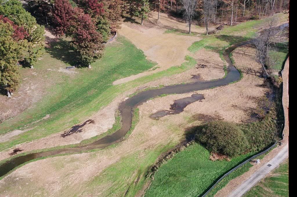
Overall aerial view of stream meandering through course
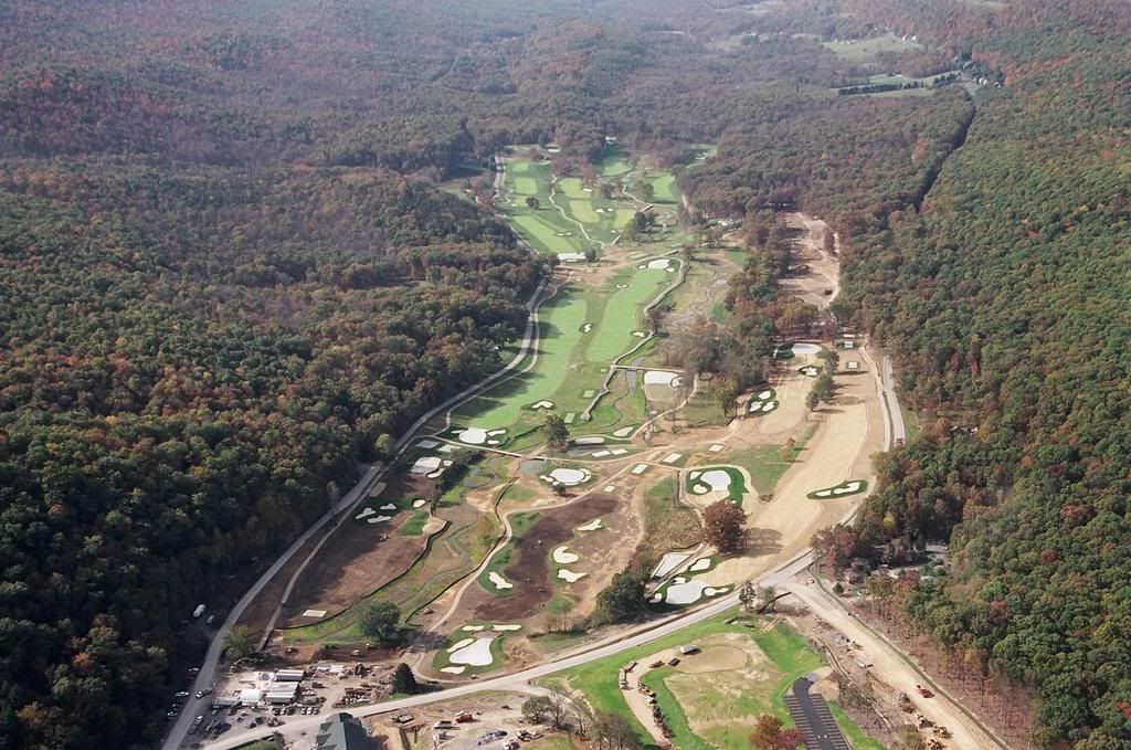
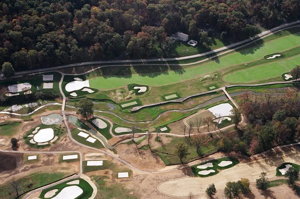
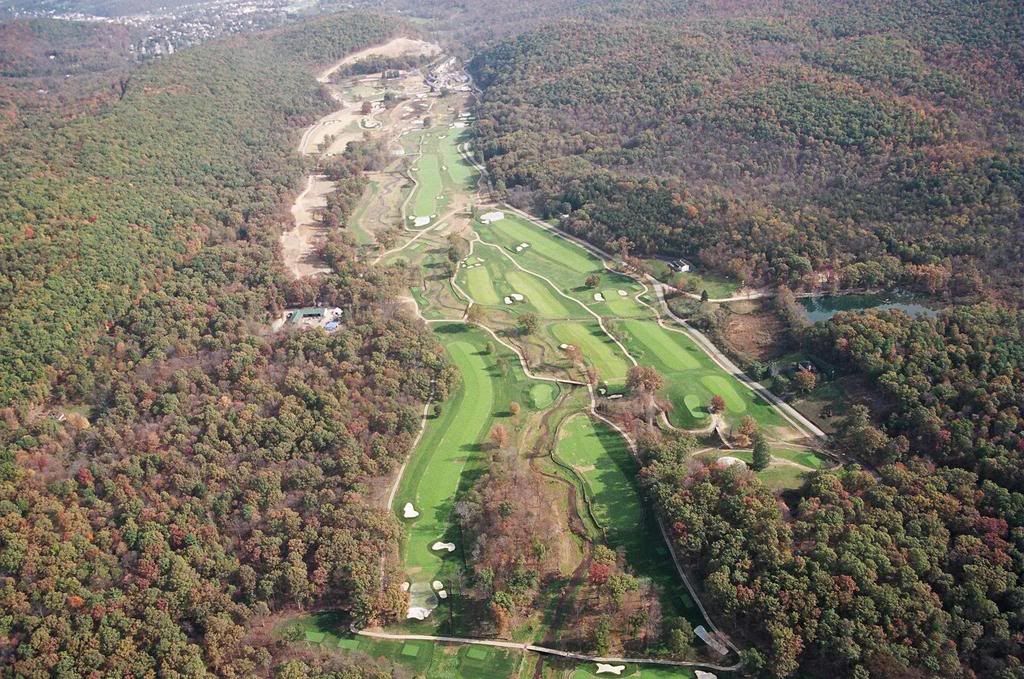
Old stream can still be seen adjacent to silt fence right of floodplain.
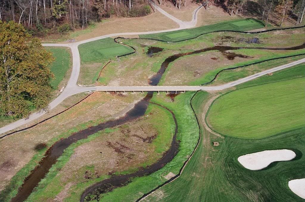
This photo is of what was the 17th hole that was added in the 70's. Stream was relocated into this area creating a huge wetland and pool area.
Mark Gutshall explaining to the owner what has happened and what can be done.
