News:

Welcome to the Golf Club Atlas Discussion Group!

Each user is approved by the Golf Club Atlas editorial staff. For any new inquiries, please contact us.


Tim Bert

  • Karma: +0/-0
Longshadow - Google Earth
« on: January 13, 2008, 10:33:46 PM »
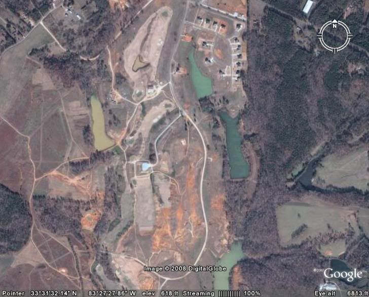
I don't know how to cut and paste things from Google Earth, but I was looking around this evening and noticed a really cool aerial of Longshadow.  The timeframe for the photos are during the construction of the back nine.  You can see some greens roughed out and you can follow the routing if you know the course.

Good stuff!

John Mayhugh

  • Karma: +0/-0
Re:Longshadow - Google Earth
« Reply #1 on: January 14, 2008, 02:53:48 PM »
Thanks for bringing this up.  An interesting opportunity for me to view some of the building of the course. I just wish the resolution was a little better.  

Here's most of the course.

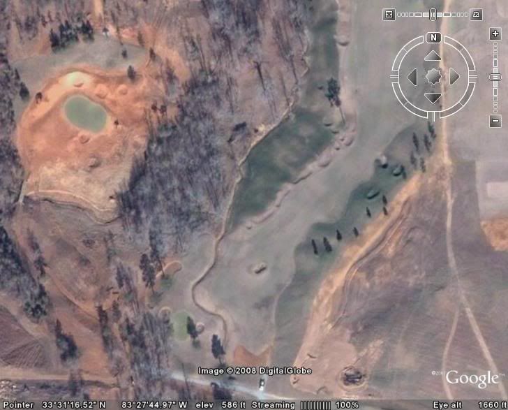
And here you can see the par 3 8th on the left and fairway and green of the par 5 5th on the right.

Tim, all you have to do from google earth is select file, save, save image.  

Tim Bert

  • Karma: +0/-0
Re:Longshadow - Google Earth
« Reply #2 on: January 15, 2008, 12:45:57 AM »
Thanks for the tip.  You left off a few of my favorites, so I thought I'd add a couple pics.

My nominee for Hole of the Year in 2007...


A good stretch on the back nine...