I found some of the photos I mentioned earlier.
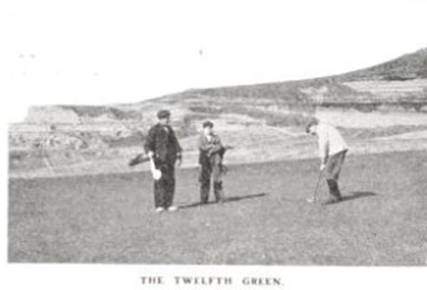
Here is the photo identified as the 12th green, from Golf Illustrated, 1904. It doesn't provide much guidance as to the features before the green.
From the same Golf Illustrated. The location of the 12th tee on the old map is somewhere above the golfers' heads. Maybe the dark strip or maybe right next to it.
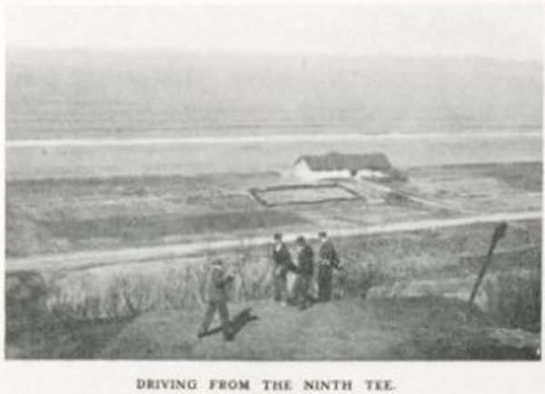
One more from GI in 1904 (All these photos were repeated in GI every couple of years:
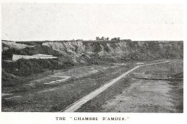
One of the hole playing down into the Chambre which was the 11th on the map, but 9th in 1906 according to GI. The green was originally way back in the corner over the road and by the ocean (next to the artificial break) but was eventually shortened so the green was short of the road. Not sure when this happened or where the green is in this photo. Note what looks like a short ridge right on the other side of the road.
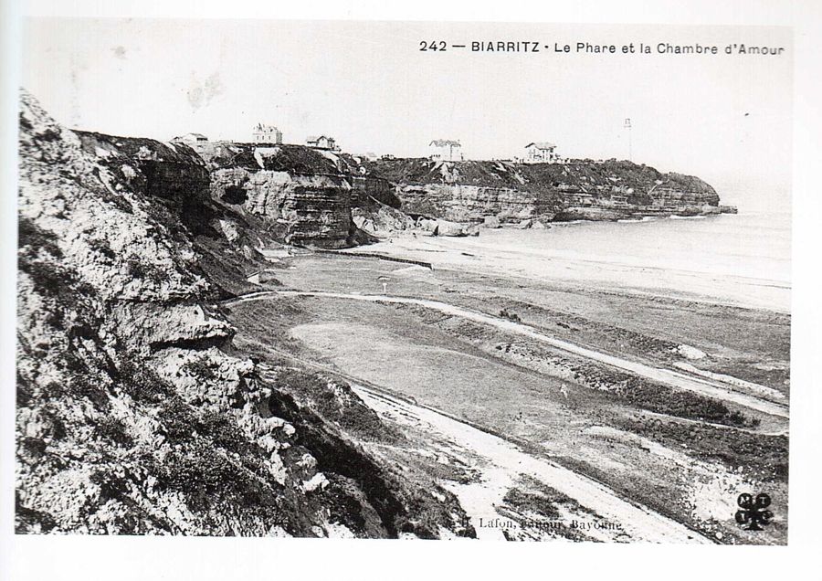
Another green which seems to be about where the 13th was on the old map:
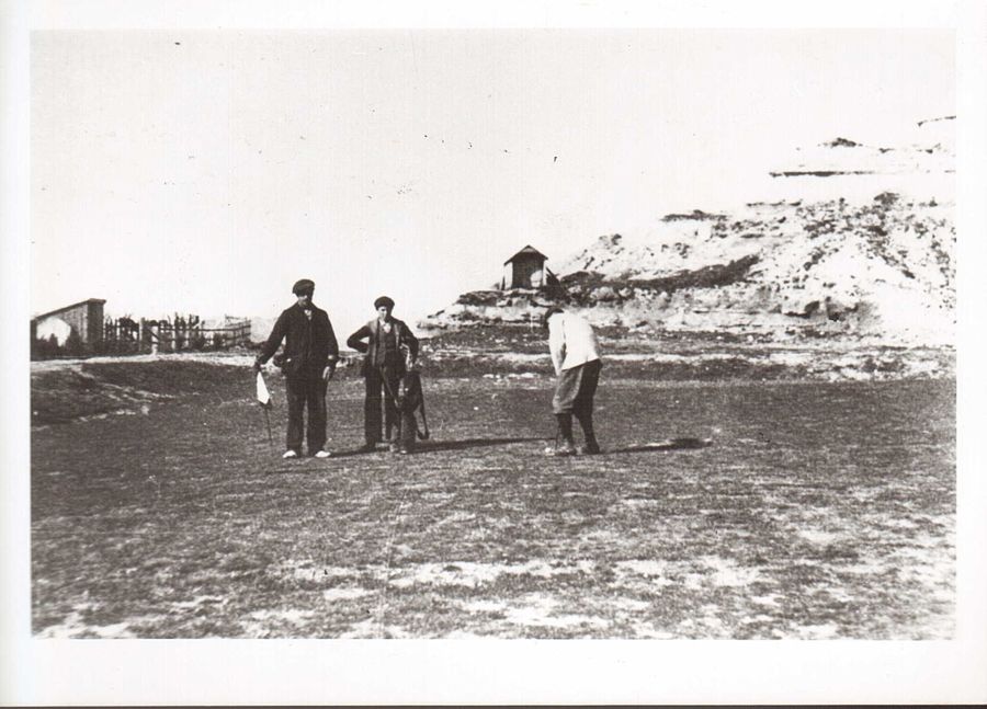
This was another hole down in the Chambre that was added sometime after the hole on the map. Note the long ridge to the left of the tee, If a hole played along the spine of this ridge (or another like it, it might have the characteristics described by CBM,
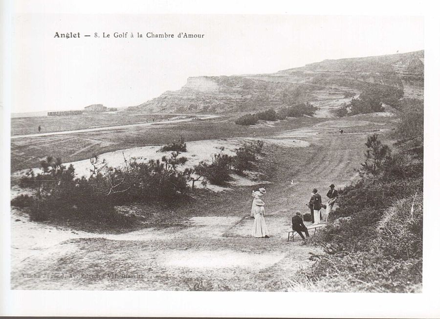
Here is a strange one. It is the tee playing down into the Chambre, but notice the green behind and below the tee. I don't know whether it was approached from above or below, but I think it played up from below (see photo is last post) and it could be a later-added escape route out of the Chambre instead of the daunting Cliff hole.
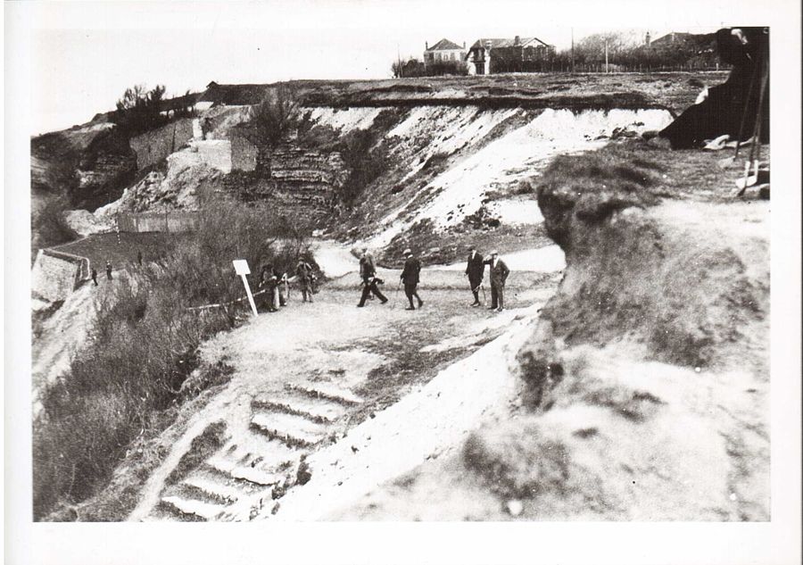
Finally, here are some more photos of the Chambre itself, some of which may have been posted before, but these are comparatively sharp (although still not sharp enough.)
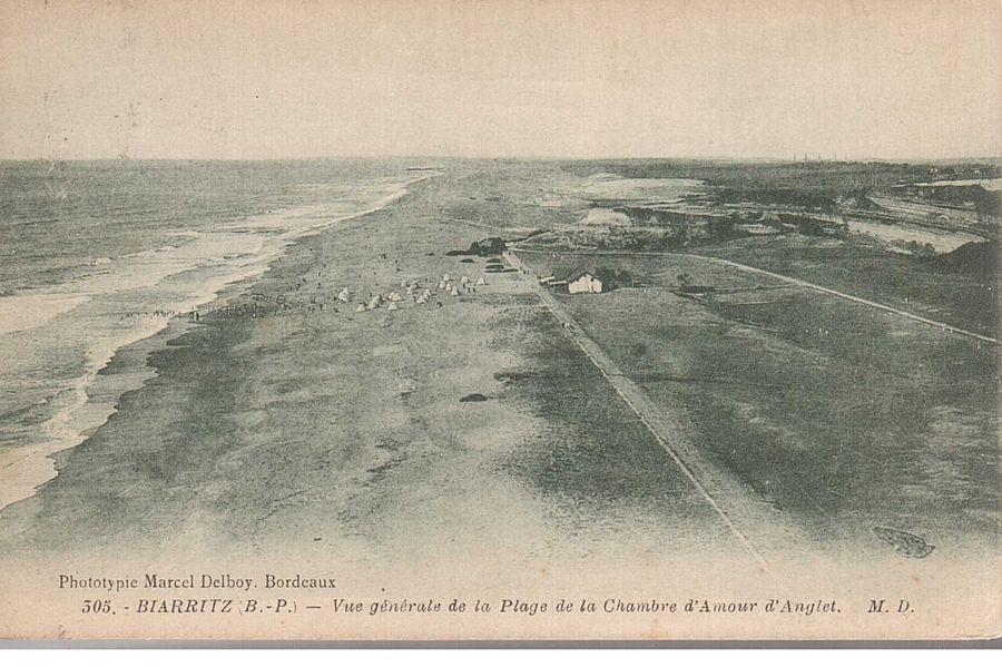
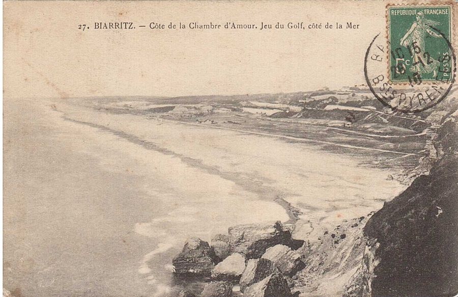
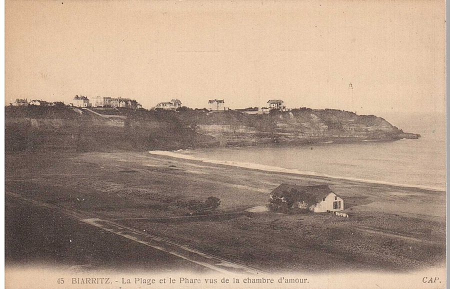
I don't think any of these resolve the issue, but there they are.