I wrote a "My Home Course" about Oak Ridge last fall. When researching for that piece I found a number of aerial photographs from the local library and historical society. I thought people might be interesting in seeing how a 1920's era course evolved.
The first photo was the biggest surprise to me. According to the information I initially read, I thought the entire course was built by 1925. Imagine my surprise in seeing this 1940 photo:
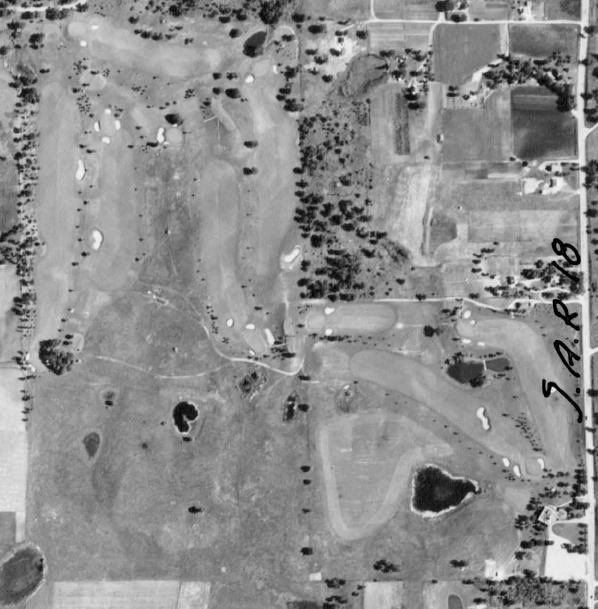
Only nine holes! It is the current back nine, which still has the same routing, but it looks like a couple of interesting bunkers were lost since this photo.
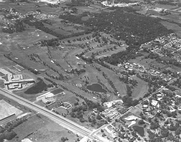
Based on the next photograph and some additional information, I learned that the second nine was built around 1940 or 41. This photo is from 1945:
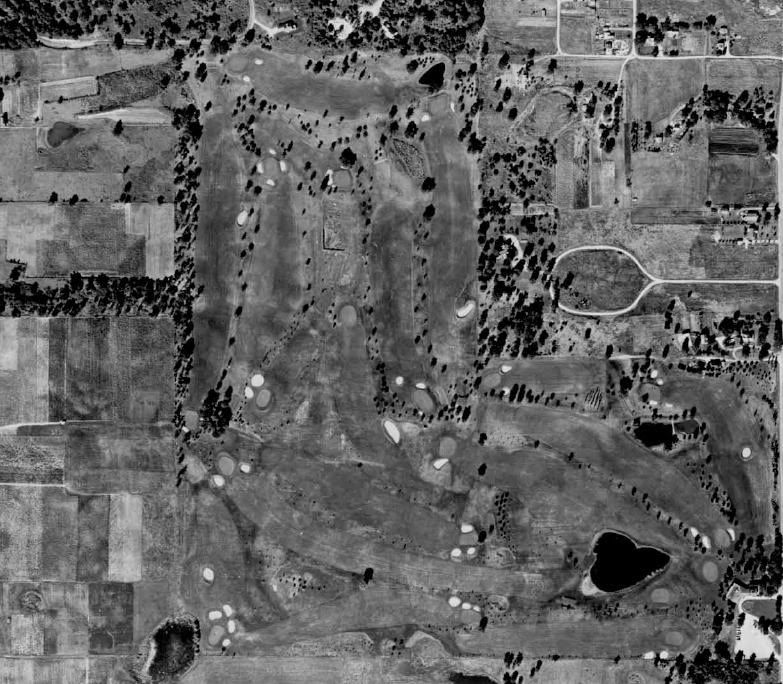
The most interesting hole to me is in the bottom left, which shows what appears to me to be a short par four or long par three that no longer exists. In addition, there is a par three over a lake at the bottom right portion of the photo that I did not expect to see.
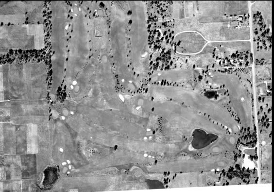
This 1950 photo appears unchanged from 1945, but is a bit more clear:
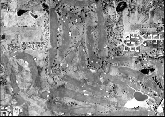
In 1960 - 2 additional holes were added at the bottom left to replace the 2 "suprise" holes from the earlier photos. Some additional holes were reshuffled.
Here is an oblique from 1959. Obliques are valuable because they give more of a 3 dimensional sense of the course:
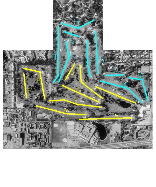
This is a 1991 aerial in which I have marked the hole numbers. Note the impact of trees.
Since 1991 time, there have been a number of additional alterations. Google Earth has a great aerial that catches them all except for an expansion of the practice range and a change to the first hole completed last year:
If you are interested in your course's history, I encourage you to check with your local historical society or university library and ask what the best source of such photographs is in your area. You may be surprised. I was!